
Explore More With Better Tools
Everything You Need To Plan Your Day
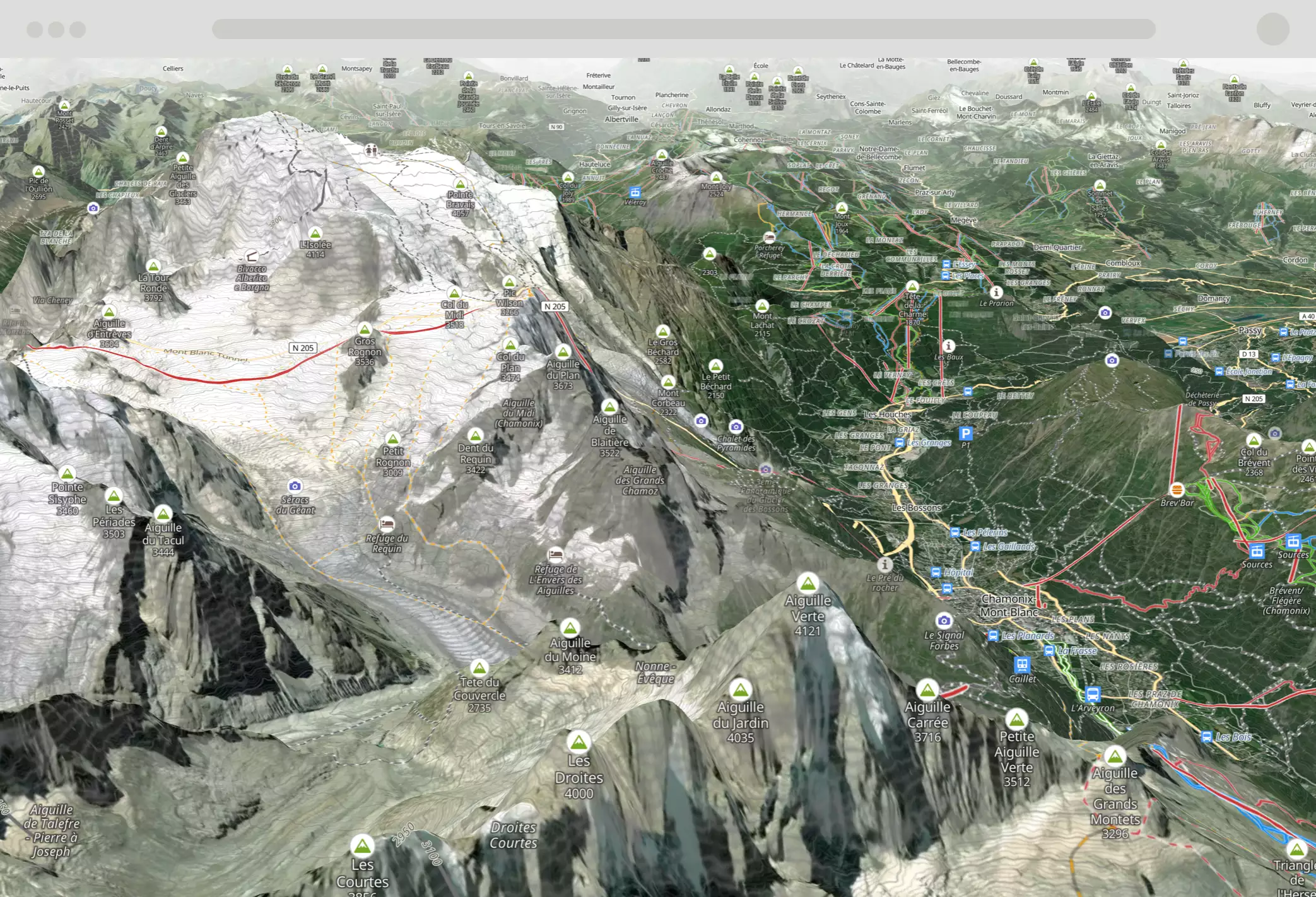
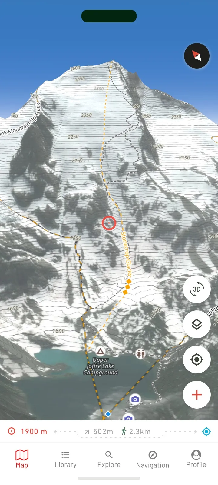
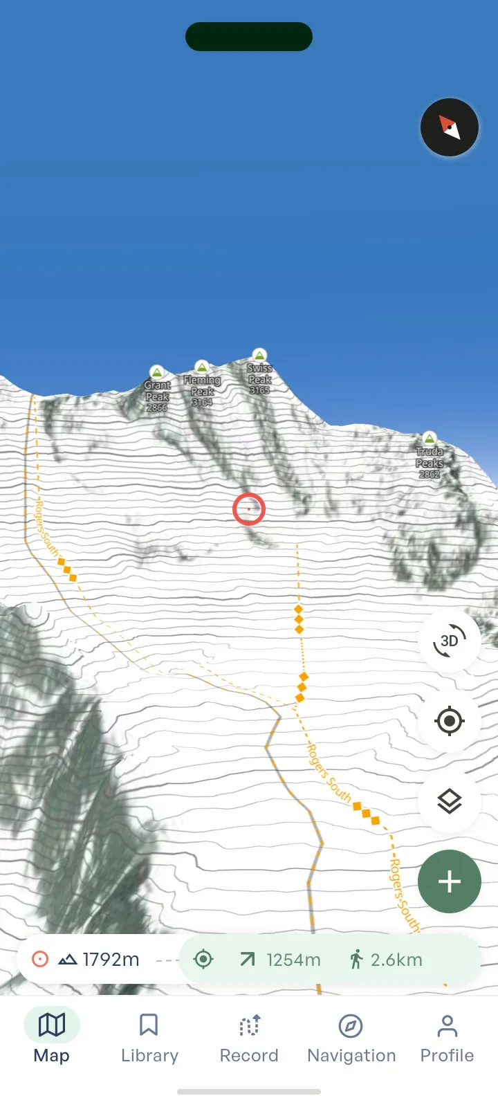
3D High Resolution Basemaps
Choose from multiple map types and analyse the terrain like never before.
Offline Maps
Fully featured offline capability - your entire plan, all the layers, always available with offline login, and custom waypoints.
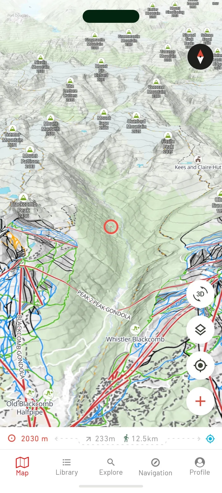
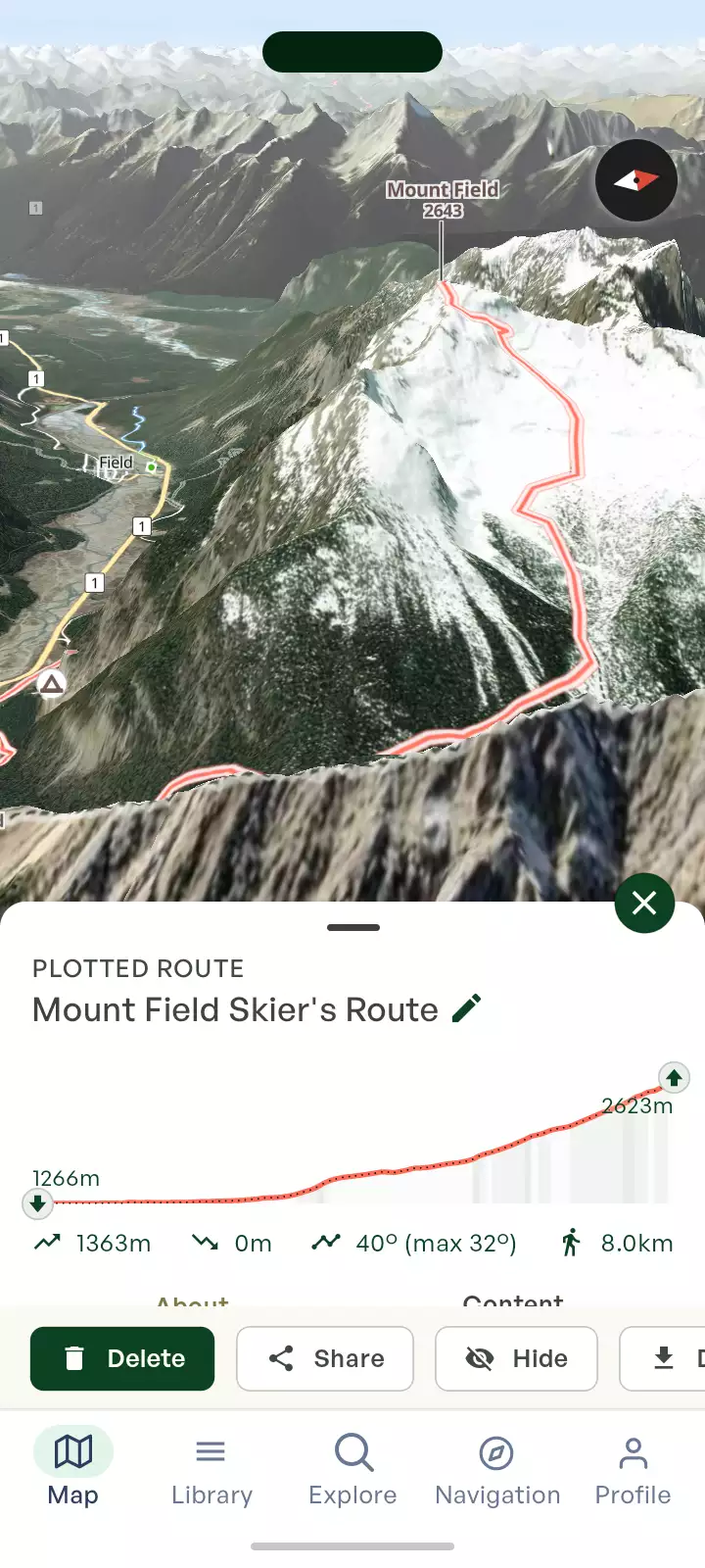
Create Custom Routes
Plot routes, import & export your GPX files and record your activities.

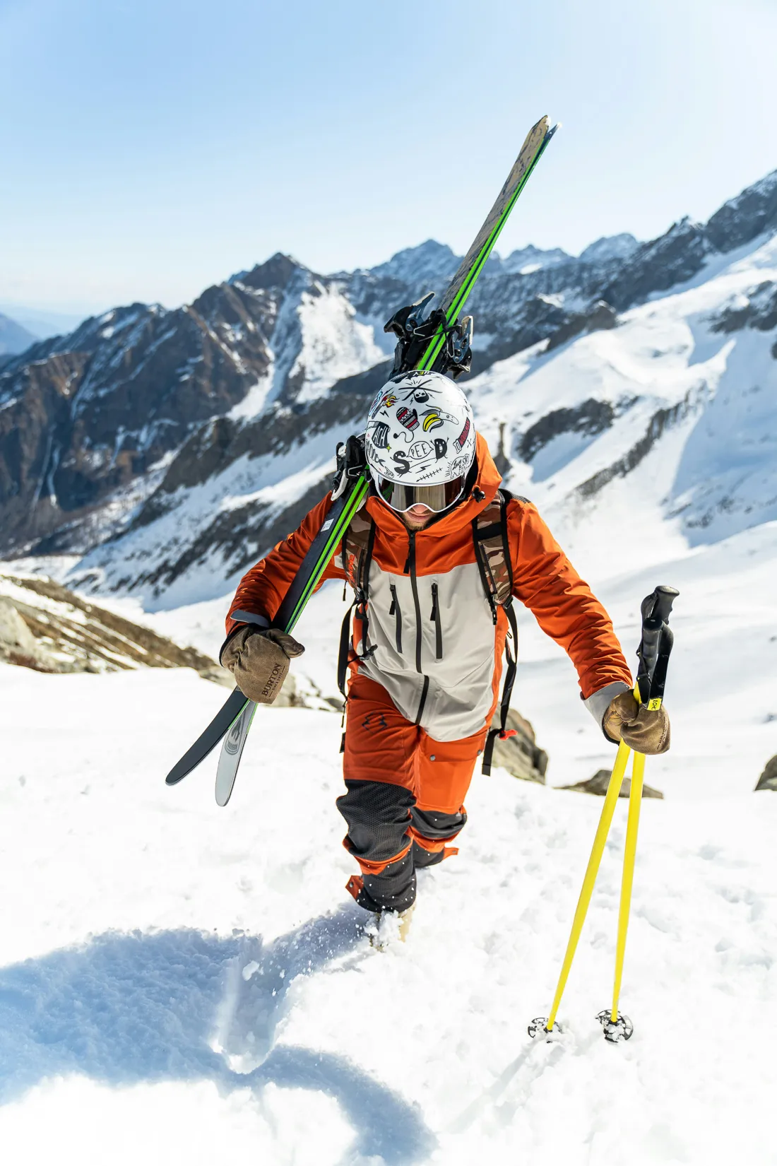
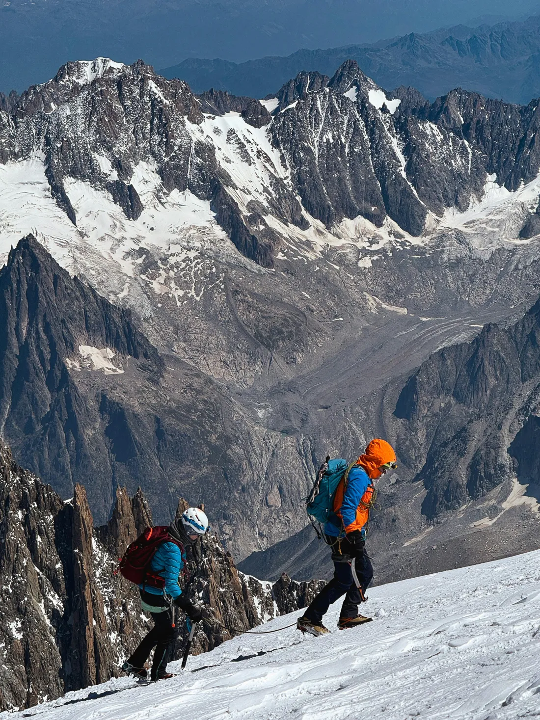
Your tool for backcountry skiing
Plan ahead then use it on the mountain
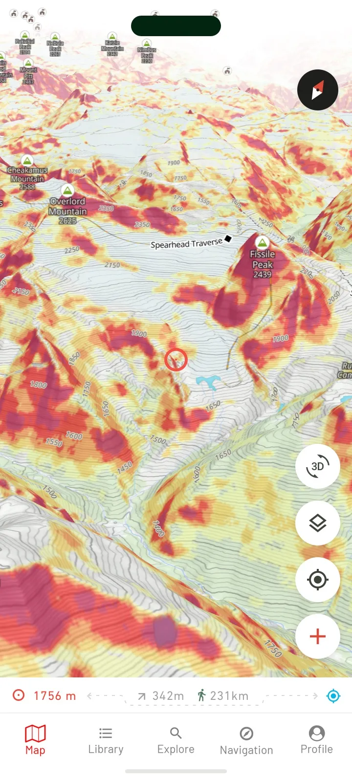
Stay safe on the mountain
Ride with confidence—get avalanche information layer on every Outmap subscription at a glance, wherever your journey takes you.
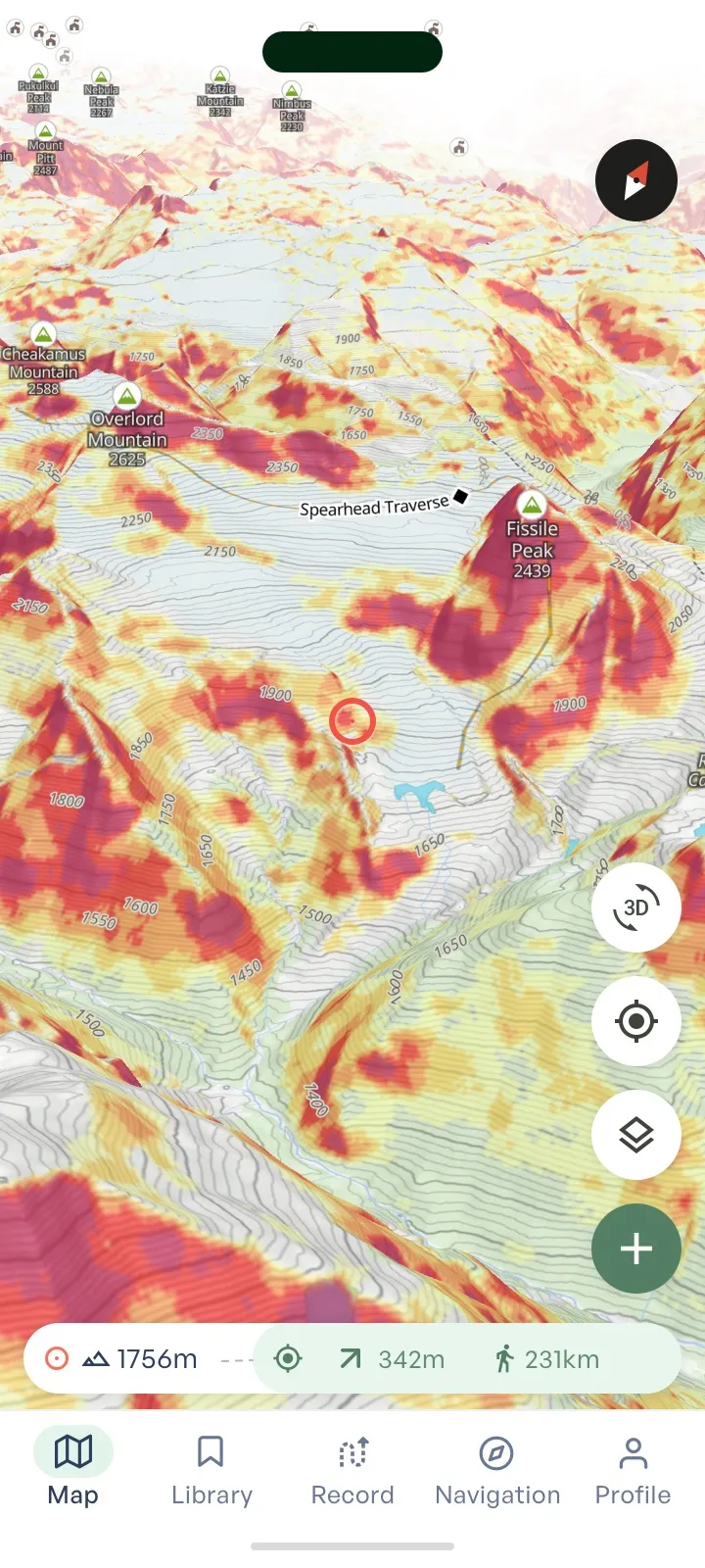
Master the terrain with multiple map layers
- Slope Angle & Aspect
- Avalanche Risk
- Flat Area
- Elevation Bands
- Custom Terrain Layer — Create overlays for your needs.
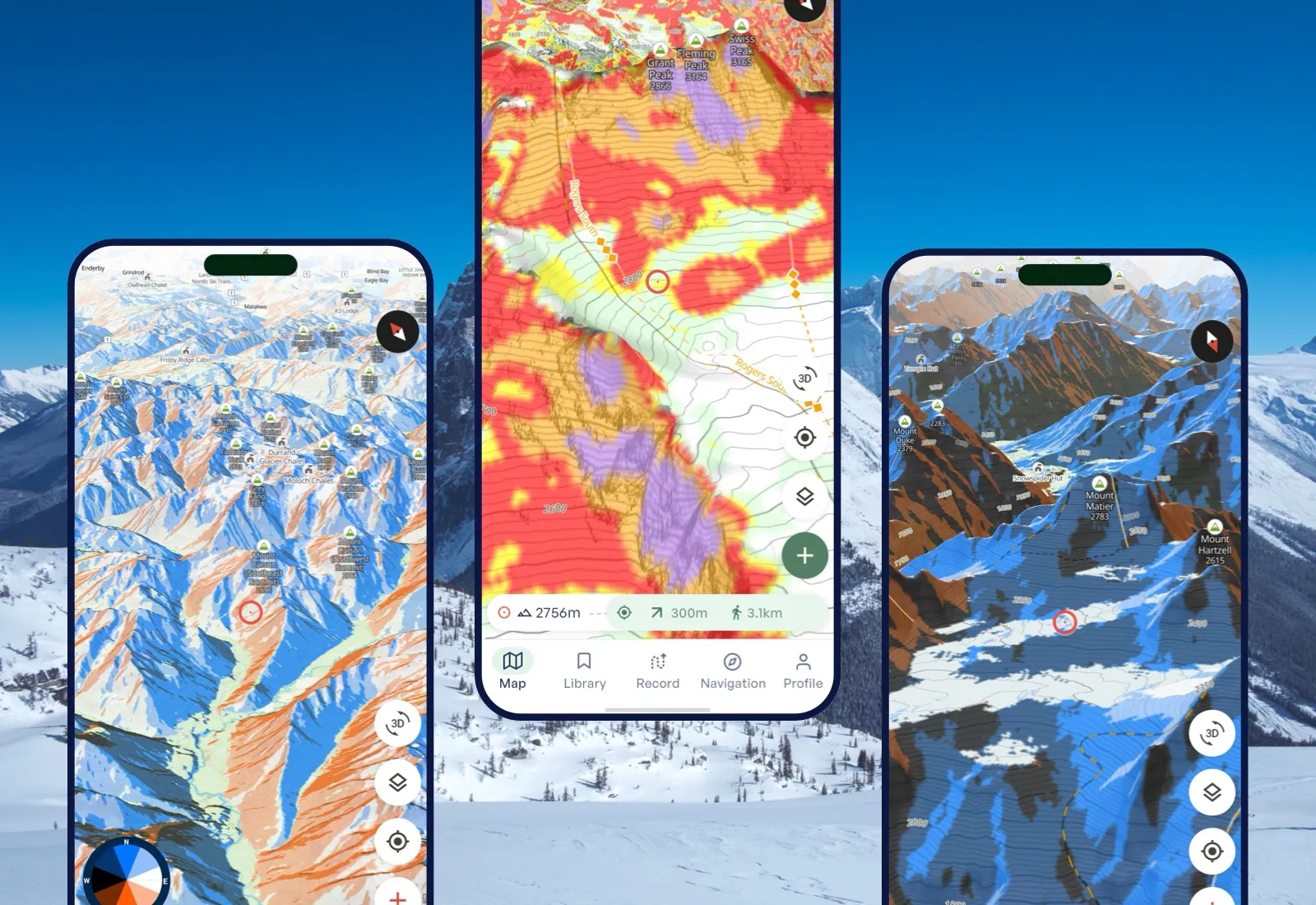
Winter imagery that matches reality
Immerse yourself in high-resolution winter maps that reveal the backcountry as it really looks. From snowfields to shaded slopes, get the clarity you need to explore deeper and ride smarter.
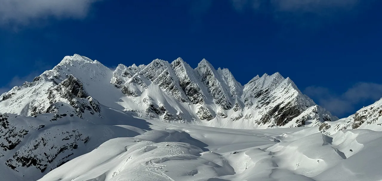
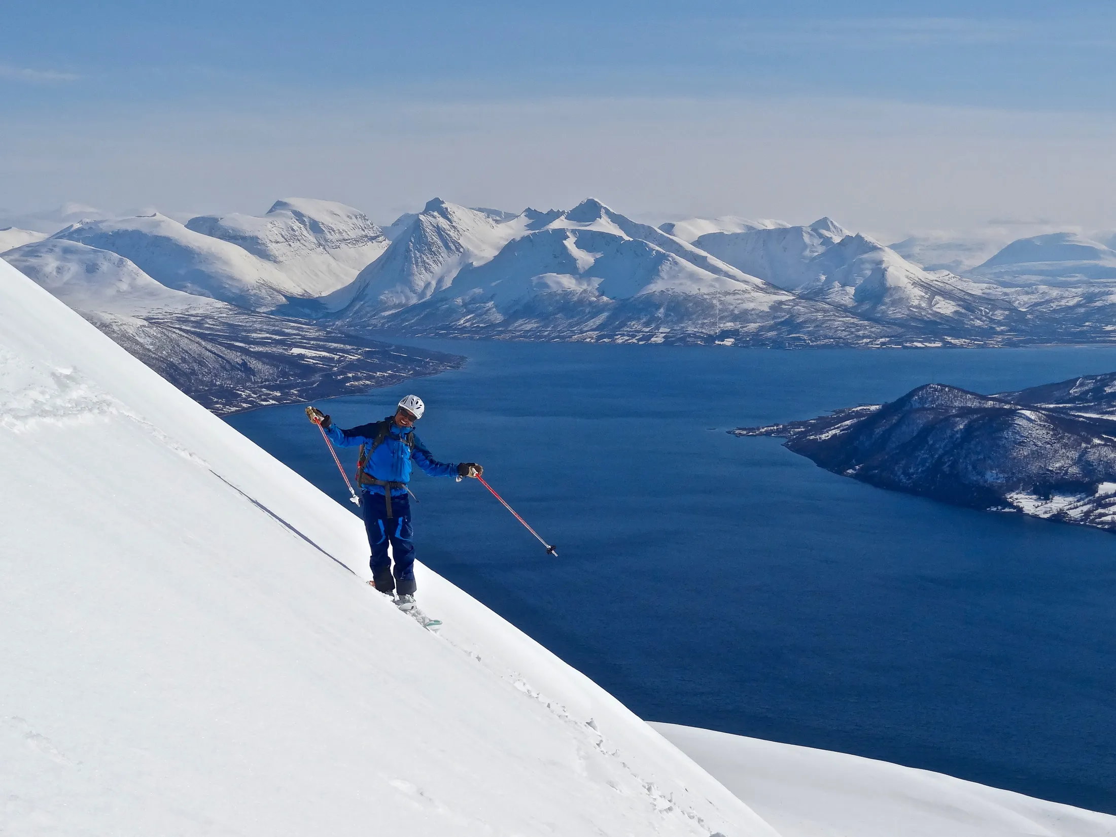
Backcountry skiing, hiking and biking maps - in 3D and available offline
Explore the mountains with confidence using the outdoor map that is trusted by mountain guides, athletes and locals.
Top features and effortless workflows
A Library Built For Riders
GPX import / export, shareable content and all your routes and waypoints in one place, easily managed across phone and laptop.
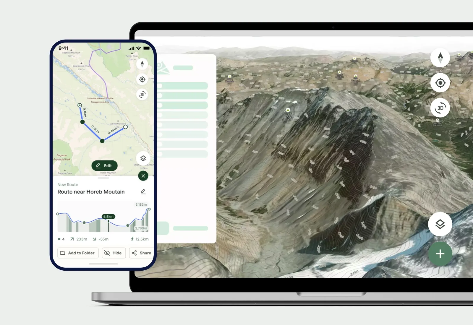
Build & edit routes
Draw, edit, and customize routes with ease. Whether you’re linking peaks, planning a ski tour, or mapping a multi-day trip, take control of your adventure from start to finish.
Seamless GPX integration
Get total flexibility and import GPX tracks, export your own adventures to share with your crew. Your routes, always portable and ready to go.
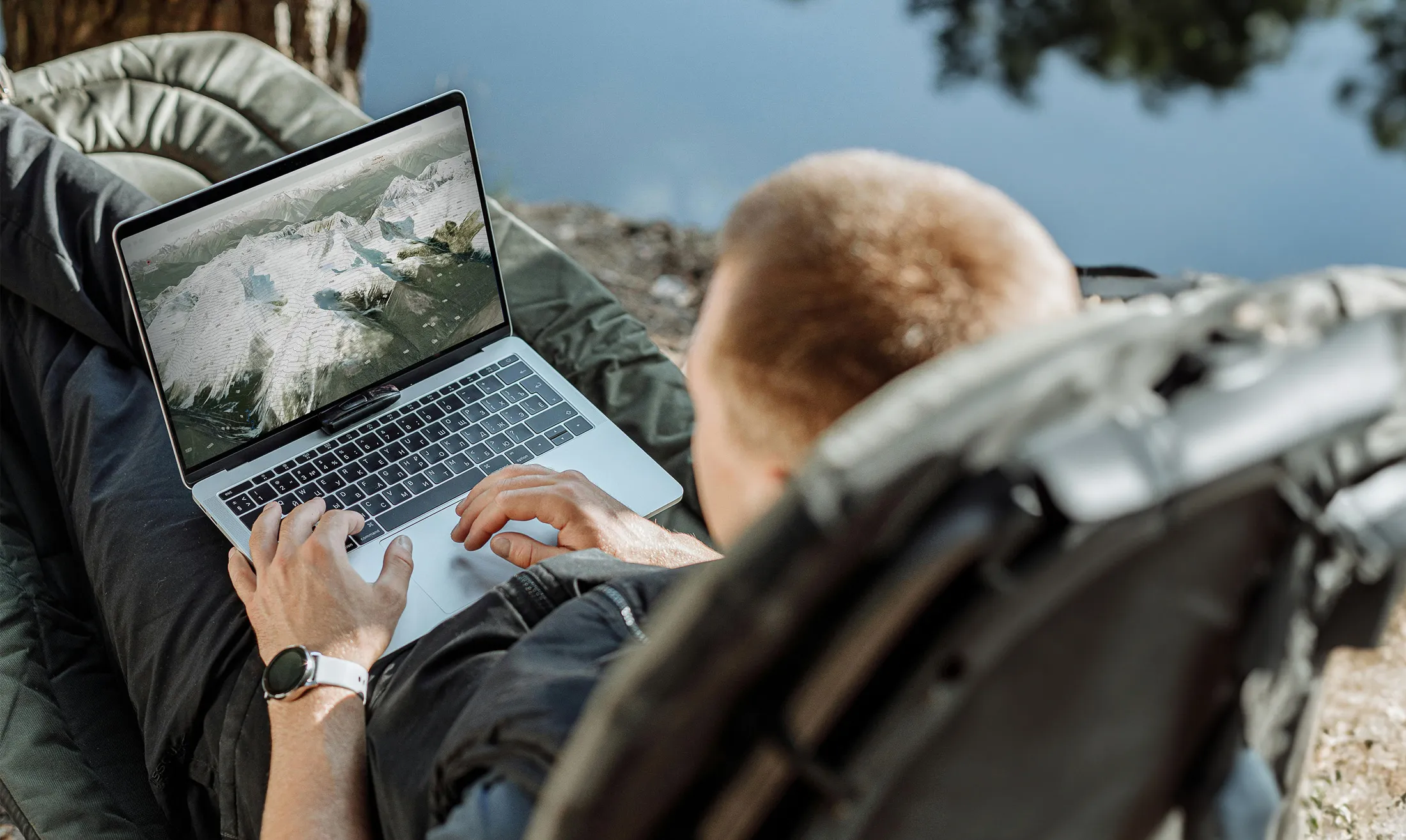
Plan easily on your computer before heading out
Get total flexibility and import GPX tracks, export your own adventures to share with your crew. Your routes, always portable and ready to go.
Go Pro and get the whole toolkit
Features


Explore
Participate
