Google Earth helps you look at mountains.
Outmap helps you study them.
If your days revolve around contour lines, slope angles, avalanche forecasts, and efficient ski tours — not virtual flyovers — the difference matters.
Features
outmap
Google Earth
3D Terrain Visualization
Backcountry & Ski Touring Tools
Route Planning
Offline Mapping
Winter-Focused Mapping
Coordinate Systems
Interface Style
Primary Audience
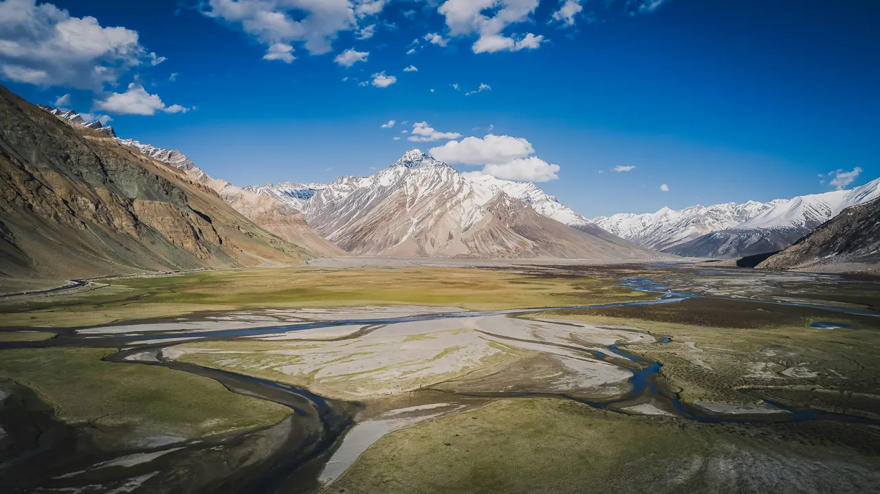
See the Terrain, Not Just the Imagery
Google Earth is fun for visual exploration. You can spin the globe, scout faces, and admire mountains in cinematic 3D.
Outmap is built for decision-making. Tilt, zoom, and rotate the map to understand slope steepness, aspect, overhead hazard, and terrain flow — the details that actually determine whether a ski tour is safe, efficient, or a bad idea.
Google Earth shows you what the mountain looks like.
Outmap shows you how it behaves.
The Backcountry Difference
Outmap is designed around how people actually travel in avalanche terrain:
- Slope-angle shading tuned for real avalanche thresholds
- Aspect layers for snowpack interpretation
- High-resolution elevation models for precise terrain reading
- Tools that support efficient skin tracks and safe descents
Google Earth isn’t missing these features by accident — it was never built for this use case.
Planning vs Visualising
Google Earth is a powerful reconnaissance tool.
Outmap is a planning and navigation system.
With Outmap, you can:
- Plan tours that avoid overhead hazard
- Identify terrain traps before you’re standing in them
- Visualise rollovers, benches, and runouts in 3D
- Take your maps offline and rely on them in the field
This is the difference between inspiration and execution.
Download Outmap Today
Ready to move beyond virtual flyovers?
See the terrain in context.
Plan with confidence.
Navigate like it counts.
Outmap — built for the backcountry, not the browser.


