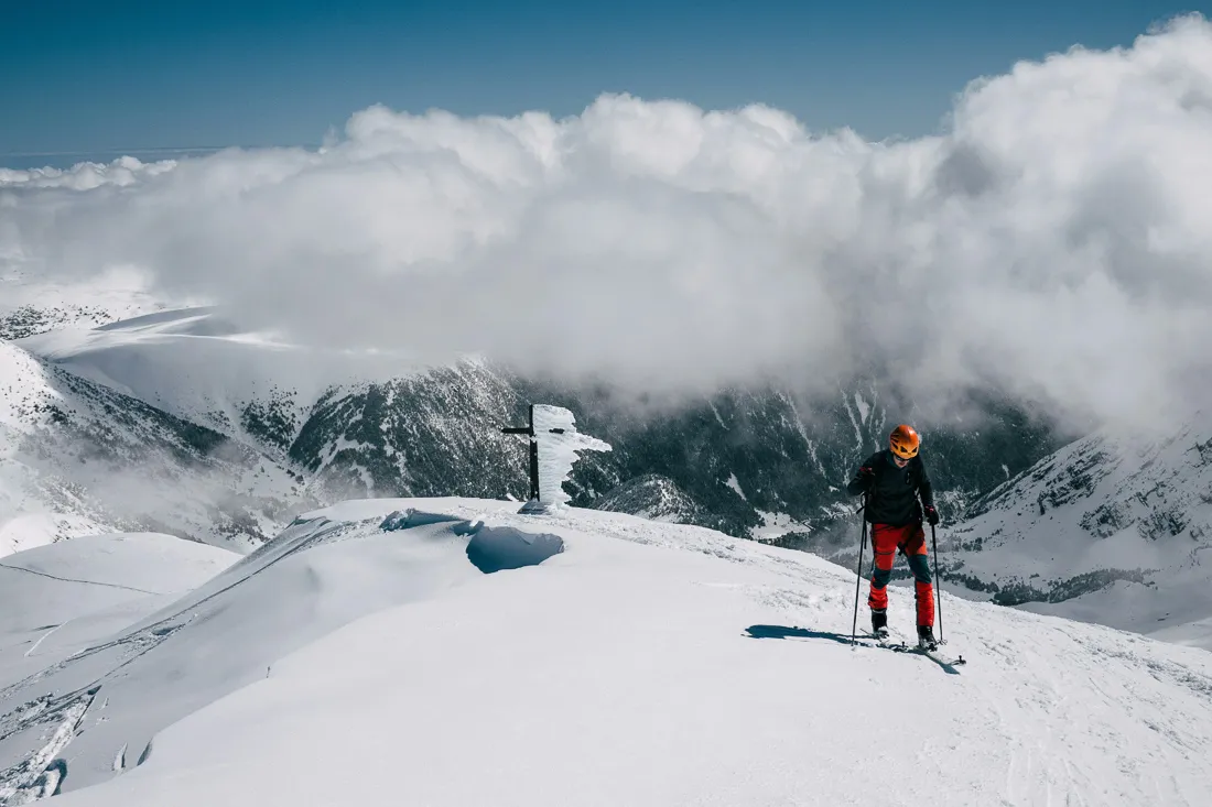
Outmap is the next-generation 3D terrain platform that helps skiers, mountaineers, and hikers see the landscape—not just outline it.
Features
outmap
OnX
Worldwide Usage
Imagery Sources
Focus Audience
Interface
Pricing
Outmap: Your Terrain, Revealed
OnX was built for property lines and trail access.
Outmap was built for mountain lines—the ones you ski, climb, and traverse.
Every contour, ridge, and slope comes alive in crisp 3D, helping you plan smarter routes and understand the terrain before you go.
Backcountry Ready
Whether you’re skinning at dawn or picking a safe descent, Outmap’s avalanche and slope layers keep you informed.
- Real-time aspect shading
- Adjustable slope-angle overlays
- Seamless zoom from macro to micro terrain
OnX gives you land ownership awareness.
Outmap gives you mountain awareness.
Multiple Imagery Sources
Snowpack? Shadow? Cloud cover?
Switch instantly between Mapbox, Maxar, and ESRI to get the clearest view.
OnX locks you into one provider—what you see is what you get.
Built for Movement, Not Boundaries
Outmap focuses on exploration, not ownership.No neon parcel lines, no hunting zones, no clutter. Just elegant cartography optimized for alpine travel and ski touring.
The Bottom Line
Category
Winner
Terrain Clarity
Land Ownership Data
Off-Road Vehicle Navigation
Ski & Alpine Mapping
Ease of Use
See the mountains the way they truly are—in 3D, offline, and ready for whatever you climb, skin, or summit.


