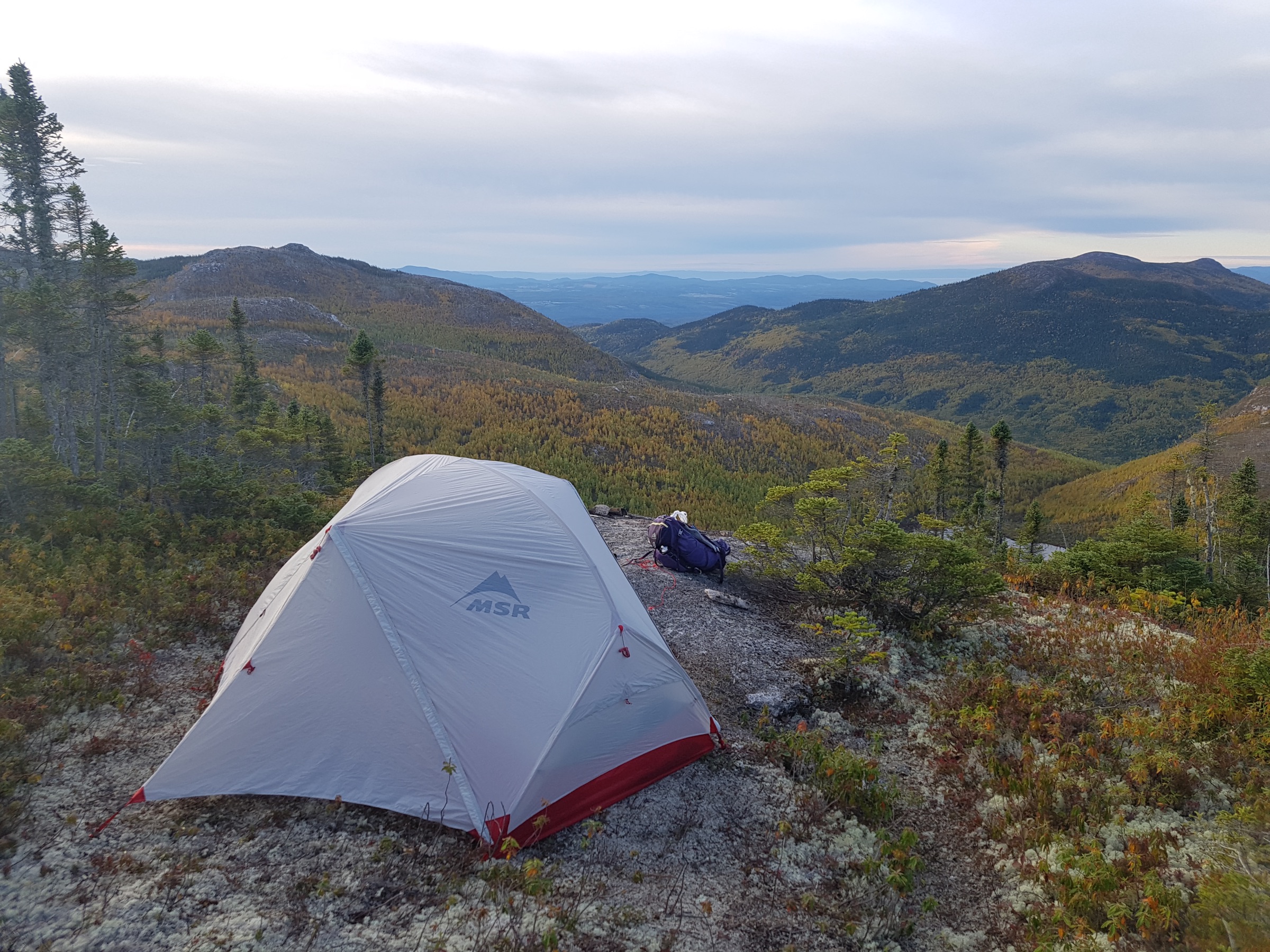
Offline maps should be the last thing you worry about in the backcountry. We rebuilt Outmap’s offline system from the ground up with that in mind.
Meet our military-grade offline manager: built for long trips, interrupted connections, and weeks without cell service.
Download the trail, with room on either side
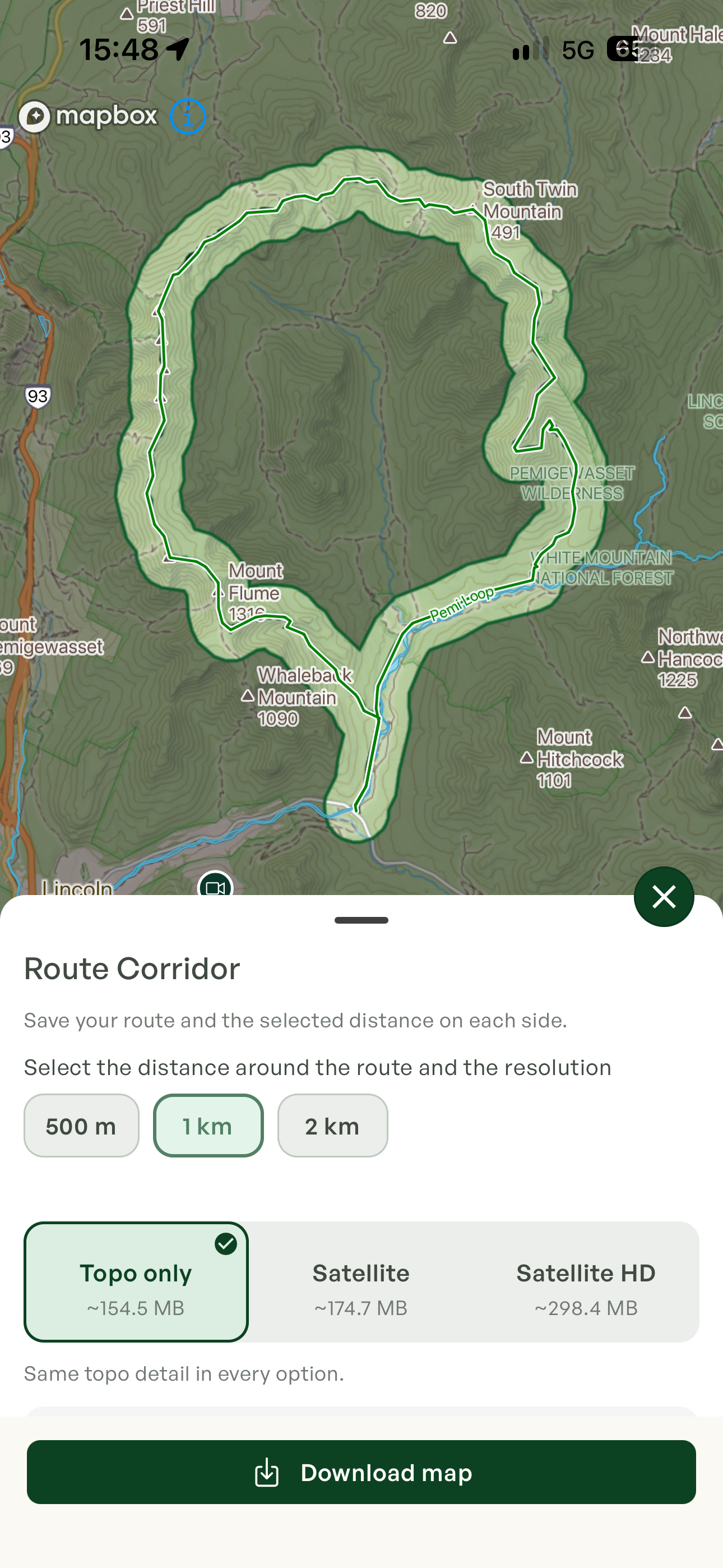
You no longer need to download a huge rectangle around a winding trail. Outmap can save a route corridor that follows the route itself.
Choose 500 m, 1 km, or 2 km on each side. A narrow corridor uses less space; a wider one gives you more surrounding terrain. Add coverage for side trips and exits beyond that buffer.
That makes it practical to prepare offline maps along an entire long-distance route, such as the Pacific Crest Trail or GR20, with the width and map options that fit your phone.
Less time drawing boxes. Less storage spent on places you won’t go.
Built to stay offline
We put the manager through thousands of automated tests, including interrupted downloads, corrupted files, failed updates, and low-storage conditions.
Then we took it into the field: weeks offline on iPhone and Android, including an expedition in Antarctica and many hut trips around the world.
Under the hood, downloaded maps live in dedicated storage, separate from the temporary browsing cache. Download progress is saved on your phone, so interrupted downloads can resume. Files are validated before use, and an update keeps the previous usable map available until its replacement is ready.
Across outdoor mapping apps, including Gaia GPS, users have repeatedly reported losing access to maps while offline—sometimes just a few days into a trip. Outmap’s offline manager was engineered from the ground up for extended use without a connection.
More maps, within your phone’s storage
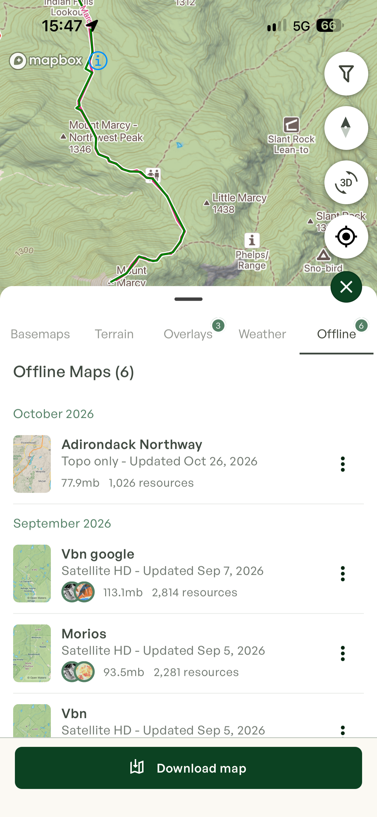
Outmap’s own offline map data has no fixed default storage quota. Available disk space is the limit, with a reserve to avoid filling your phone. Satellite imagery has separate download limits.
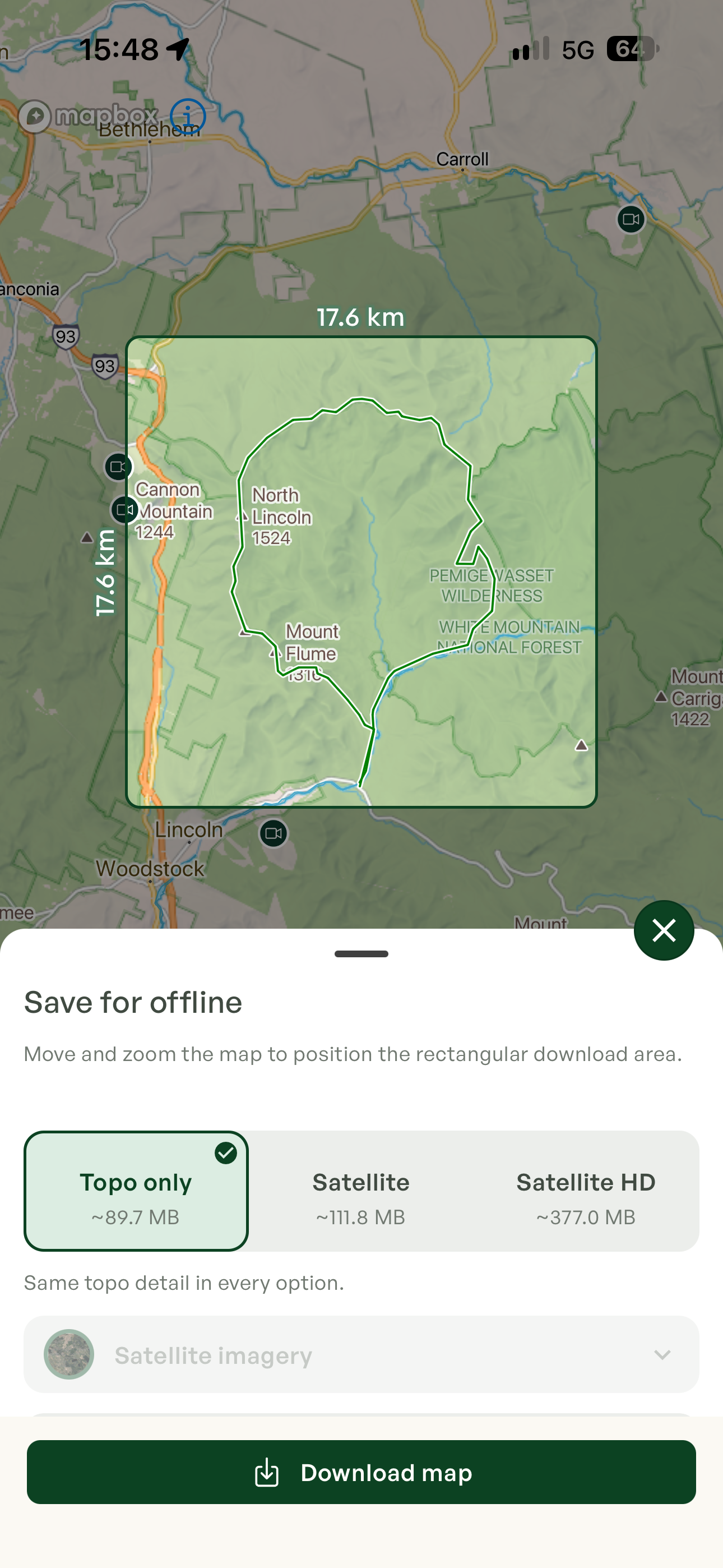
Rectangular regions are still available for a mountain range, a hut’s surroundings, or a trip without a fixed route. Choose Topo only, Satellite, or Satellite HD; all three keep the same topographic detail. The selector shows an estimated download size before you start.
Before leaving, review your saved regions and open the maps without a connection. Check the route and the detail you expect to use.