
Provinces & regions
Alabama
Explore routes & places
Alaska
Explore routes & places
American Samoa
Explore routes & places
Arizona
Explore routes & places
Arkansas
Explore routes & places
California
Explore routes & places
Colorado
Explore routes & places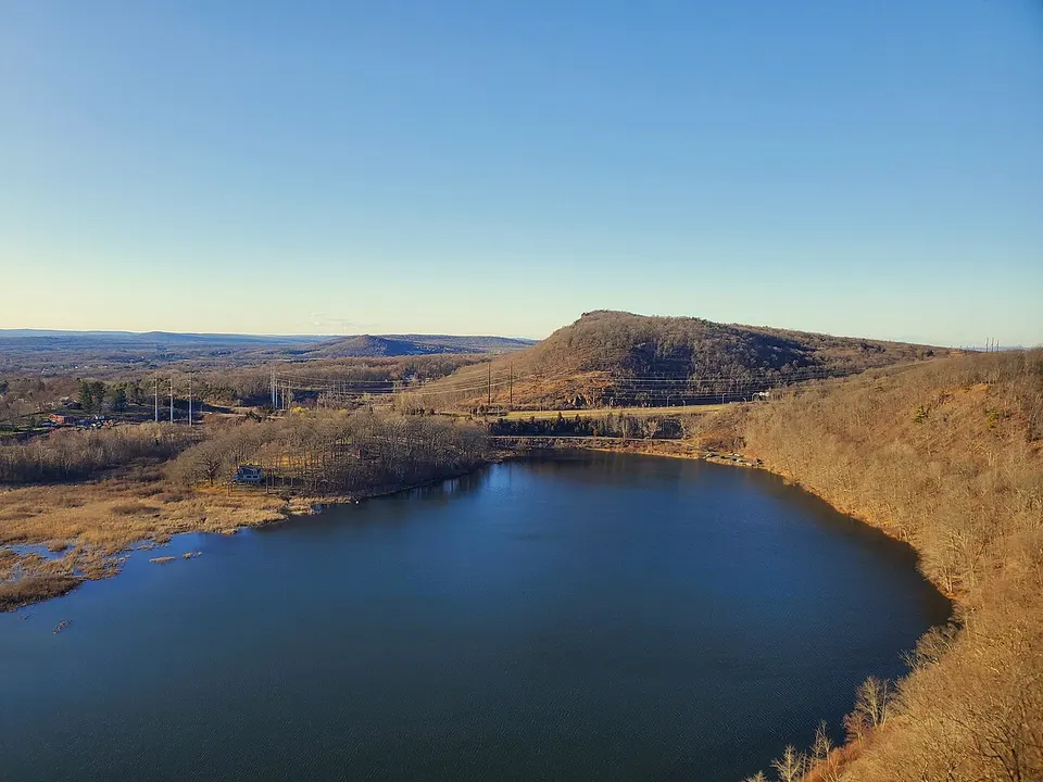
Connecticut
Explore routes & places
Delaware
Explore routes & places
District of Columbia
Explore routes & places
Florida
Explore routes & places
Georgia
Explore routes & places
Hawaii
Explore routes & places
Idaho
Explore routes & places
Illinois
Explore routes & places
Indiana
Explore routes & places
Iowa
Explore routes & places
Kansas
Explore routes & places
Kentucky
Explore routes & places
Louisiana
Explore routes & places
Maine
Explore routes & places
Maryland
Explore routes & places
Massachusetts
Explore routes & places
Michigan
Explore routes & places
Routes & places
- Route · ohv
(C) 64TH ST S.E.
United States
- 3.2 km mapped
- Route · ohv
(C) BULL HOOK CREEK
United States
- 4.8 km mapped
- Climbing areaClimbing area · Climbing
(c) Castle Rock - Southeast Face
United States
- 10 climbing routes
- Climbing areaClimbing area · Climbing
(c) Grain Top Pinnacle
United States
- 1 climbing routes
- Climbing areaClimbing area · Climbing
(c) Hospital Crags
United States
- 4 climbing routes
- Route · ohv
(C) HOVET ROAD
United States
- 7.5 km mapped
- Route · ohv
(C) ICE BOX CANYON
United States
- 1.8 km mapped
- Route · ohv
(C) ICE BOX CANYON
United States
- 0.4 km mapped
- Climbing areaClimbing area · Climbing
(c) King Pins
United States
- 49 climbing routes
- Climbing areaClimbing area · Climbing
(c) Le Dent Pinnacle
United States
- 13 climbing routes
- Climbing areaClimbing area · Climbing
(c) Left of the Roof
United States
- 14 climbing routes
- Route · ohv
(C) LITTLE NASTY CREEK
United States
- 5.8 km mapped
- Route · ohv
(C) LITTLE NASTY CREEK
United States
- 5.8 km mapped
- Climbing areaClimbing area · Climbing
(c) Lord of the Flies Rock
United States
- 4 climbing routes
- Climbing areaClimbing area · Climbing
(C) Main Wall, left side
United States
- 48 climbing routes
- Route · ohv
(C) NORTH STROM
United States
- 2.3 km mapped
- Route · ohv
(C) NORTH STROM
United States
- 0.8 km mapped
- Climbing areaClimbing area · Climbing
(c) Perky Crafts Tit
United States
- 1 climbing routes
- Route · ohv
(C) PHELPS RANCH
United States
- 4.8 km mapped
- Route · ohv
(C) PHELPS RANCH
United States
- 2.2 km mapped
- Route · ohv
(C) SHEYENNE RIVER
United States
- 0.2 km mapped
- Route · ohv
(C) SHEYENNE RIVER
United States
- 1.1 km mapped
- Route · ohv
(C) SHEYENNE RIVER
United States
- 1.1 km mapped
- Climbing areaClimbing area · Climbing
(c) Shooting Up Boulder
United States
Explore place