What it is
An avalanche forecast (also called a bulletin, an advisory or, in Europe, an avalanche report) is published by an avalanche center for one area and a short period, usually 24 to 48 hours. It gives the avalanche danger, the avalanche problems, travel advice, the weather and other snowpack information.
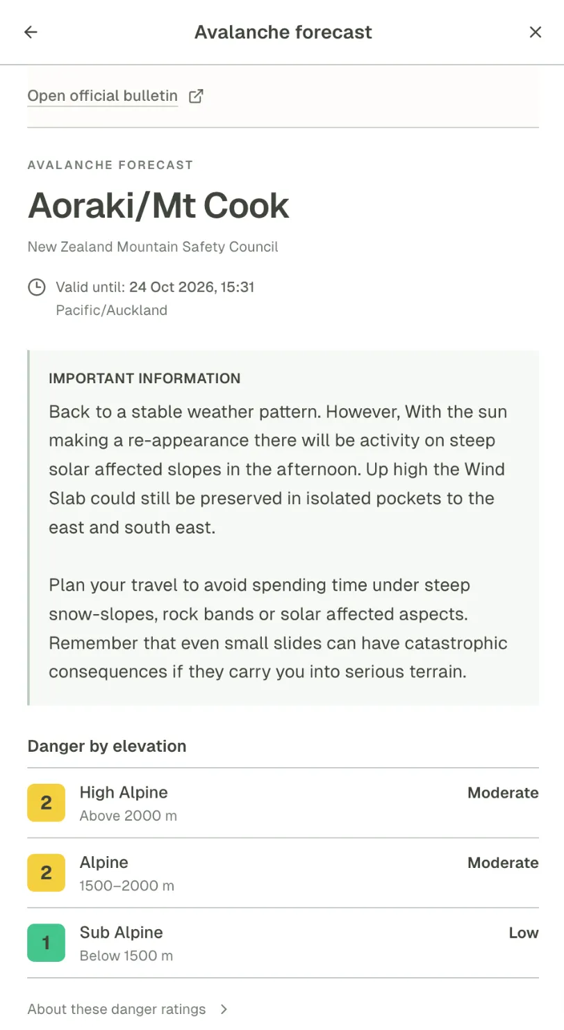
In Outmap the forecast is an overlay that turns the map into an avalanche danger map: each region coloured by its current danger rating, from 1 Low in green to 5 Very high in magenta. Select a region and its forecast opens: the forecast centre, until when it is valid, the forecaster's summary, the danger by elevation band, and a link to the official bulletin.
Why it matters on the mountain
Your regional avalanche forecast is the first step when planning a backcountry trip: it gives the current danger rating and the trend for the next couple of days, says where the danger is, and advises which terrain to avoid or seek out.
The danger rating
North American forecasts rate the danger on five levels, 1 Low, 2 Moderate, 3 Considerable, 4 High and 5 Extreme, usually for three elevation bands. The numbers understate it: the danger rises exponentially from one level to the next. The European scale also has five levels, from low to very high.
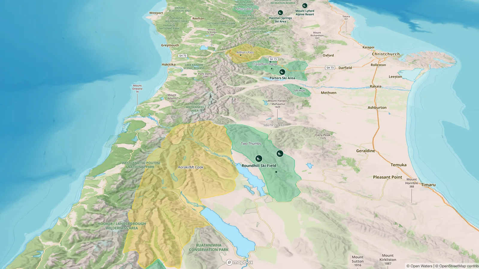
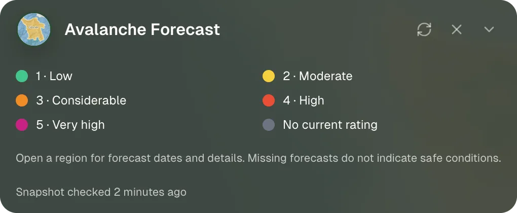
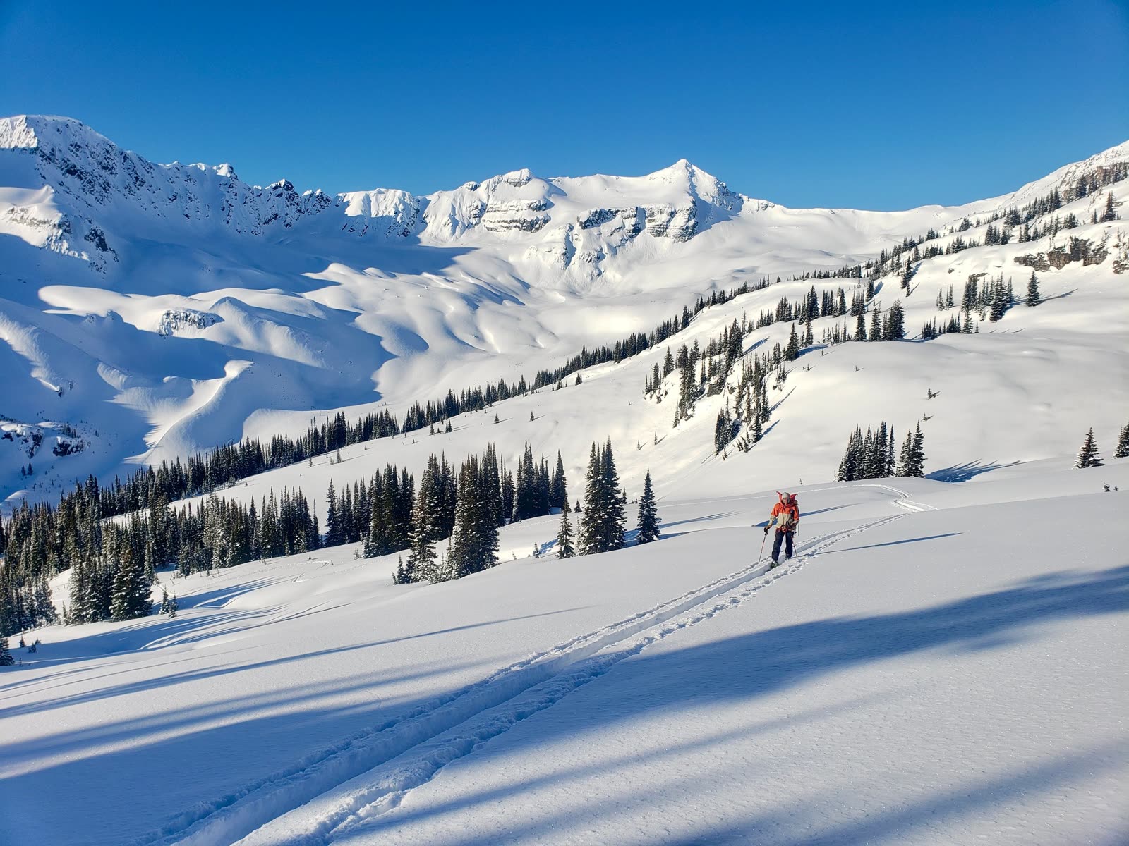
Photo: Fionn Graf (@fionngraf)
The avalanche problems
The rating alone does not say what kind of avalanche to expect, or where. Each forecast names up to three avalanche problems, wind slabs for example, with the elevation bands and aspects where you will find them, how likely they are to be triggered and how big they could be.
Then the terrain
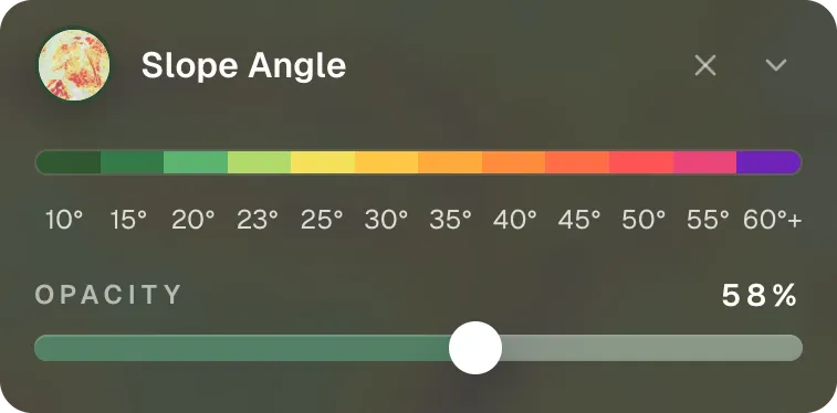
The danger level applies to a whole region, not to a single slope, so check it against the slopes you will actually travel. Find the slopes that face the flagged aspects with the slope aspect layer, then switch to the slope angle layer to see which of them are steep enough to slide.
Plan the route around it
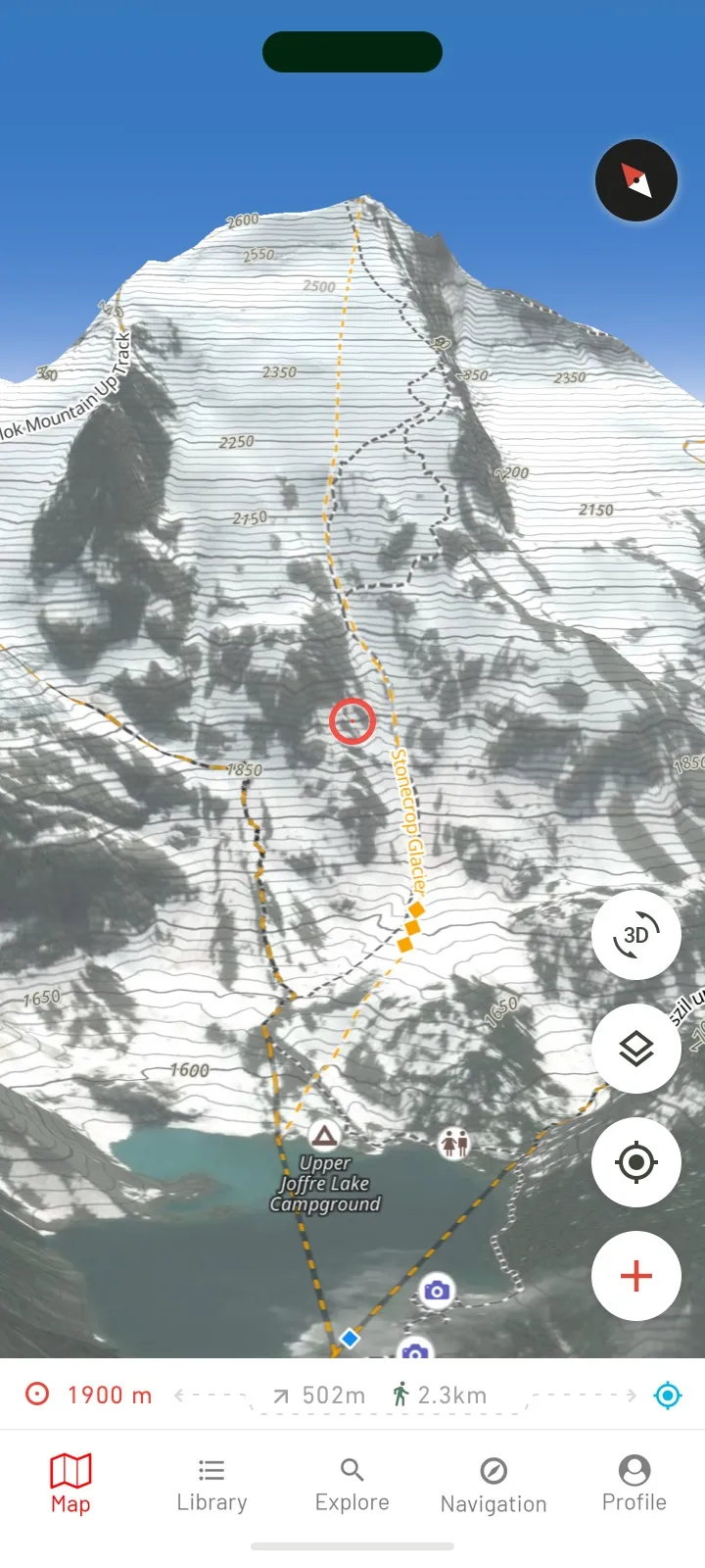
Mark your decision points on the route with waypoints: where you transition, where the group regroups, where you turn back if the slopes do not match the forecast. Custom waypoints are free and sync between your phone and Outmap Web.
The avalanche risk layer is not the forecast
Outmap's free avalanche risk layer shades slope angles only, red for 34° to 45°, and knows nothing about today's snowpack or weather.
Where it works
Outmap shows the forecast wherever a public avalanche bulletin is published: more than 700 forecast regions from 41 forecast services in 24 countries (October 2026).
For every region and its latest bulletin, see Outmap's avalanche forecast coverage. It also links to services whose bulletins are not in Outmap yet, in Australia, Chile, Bulgaria, Ukraine and India. In Canada, Outmap also shows the Mountain Information Network: recent observations, conditions and photos posted from the field.
Where no forecast is published, the map shows no rating, and as Outmap's own legend puts it, missing forecasts do not indicate safe conditions.
The forecast is live data. It needs a connection and is not part of offline maps, so check it before you leave signal.
How to turn it on in Outmap
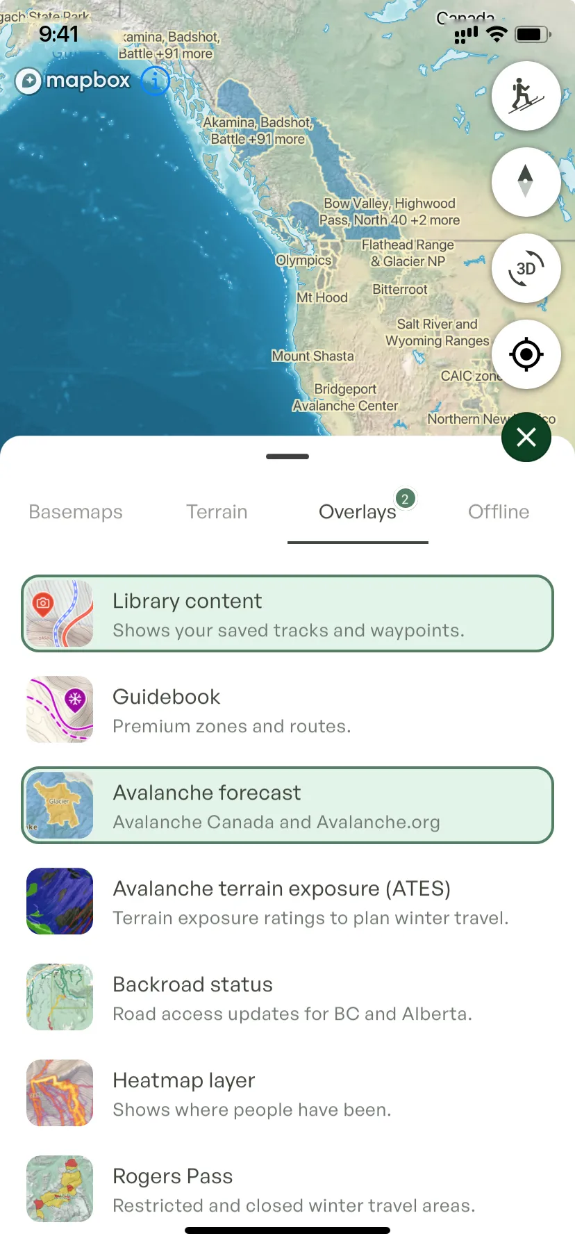
It works the same in the app and in Outmap Web at outmap.pro/maps, once you're logged in:
- Open the Layers panel.
- Go to the Overlays tab.
- Turn on Avalanche forecast.
- Select a forecast region to open its bulletin.

Frequently asked questions
Yes. Outmap is an avalanche app that shows avalanche risk on the map in two ways: the official avalanche forecast, wherever a public bulletin is published, and the avalanche risk layer, which highlights avalanche-prone slope angles, red for 34° to 45°. Plan your route on the same map, and check it against the forecast with the slope angle and aspect layers. The forecast and the terrain layers are free.
Outmap shows the bulletins of 41 avalanche services in 24 countries: the United States, Canada, New Zealand, Japan and Argentina; in Europe, Andorra, Austria, Czechia, Finland, France, Germany, Iceland, Italy, Liechtenstein, Norway, Poland, Romania, Slovakia, Slovenia, Spain, Sweden, Switzerland and the United Kingdom; and Georgia. To check yours, see Outmap's avalanche forecast coverage: each forecast service, its regions and their latest bulletins.
The avalanche danger, the avalanche problems, travel advice, the weather forecast and other snowpack information, for one area and usually the next 24 to 48 hours.
Both the North American and the European scales have five levels, from 1 (low) to 5 (extreme in North America, very high in Europe). On the North American scale, the danger rises exponentially from one level to the next.
No. Outmap's avalanche risk layer is a free terrain layer that highlights avalanche-prone areas. The forecast is the avalanche center's bulletin for current conditions. Use them together.
ATES, the Avalanche Terrain Exposure Scale, rates backcountry terrain by how exposed it is to avalanches. It rates the terrain, not the snow, so read it with the avalanche forecast. Outmap shows ATES ratings, as simple, challenging and complex terrain, in two places today: about 170 rated areas in Canada, from British Columbia to Quebec and Newfoundland, and the central Pyrenees. Turn on Avalanche terrain exposure (ATES) in the Overlays tab.
No. The forecast is live data, so Outmap needs a connection to show it, and it is not part of offline maps. Check it before you leave signal. With Outmap Pro, the map itself, its terrain layers and your route do go offline.
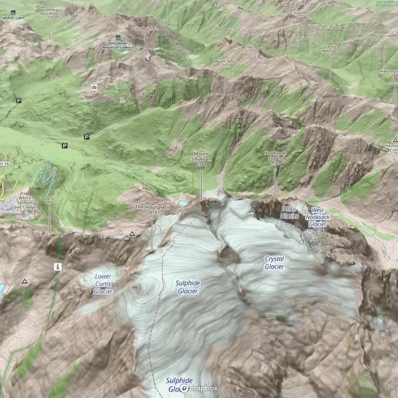
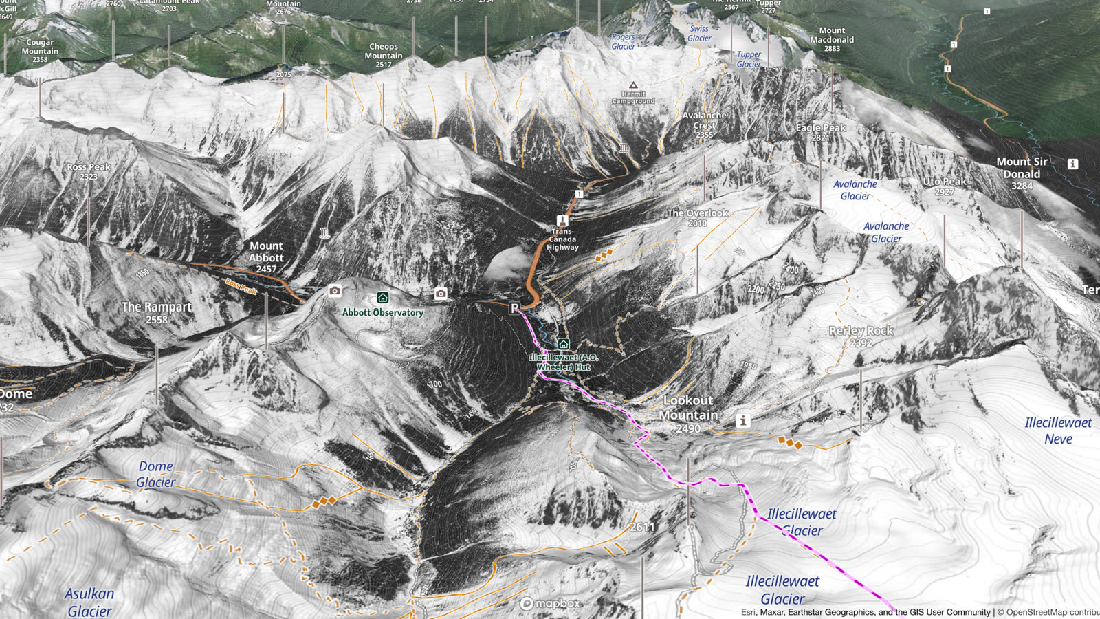
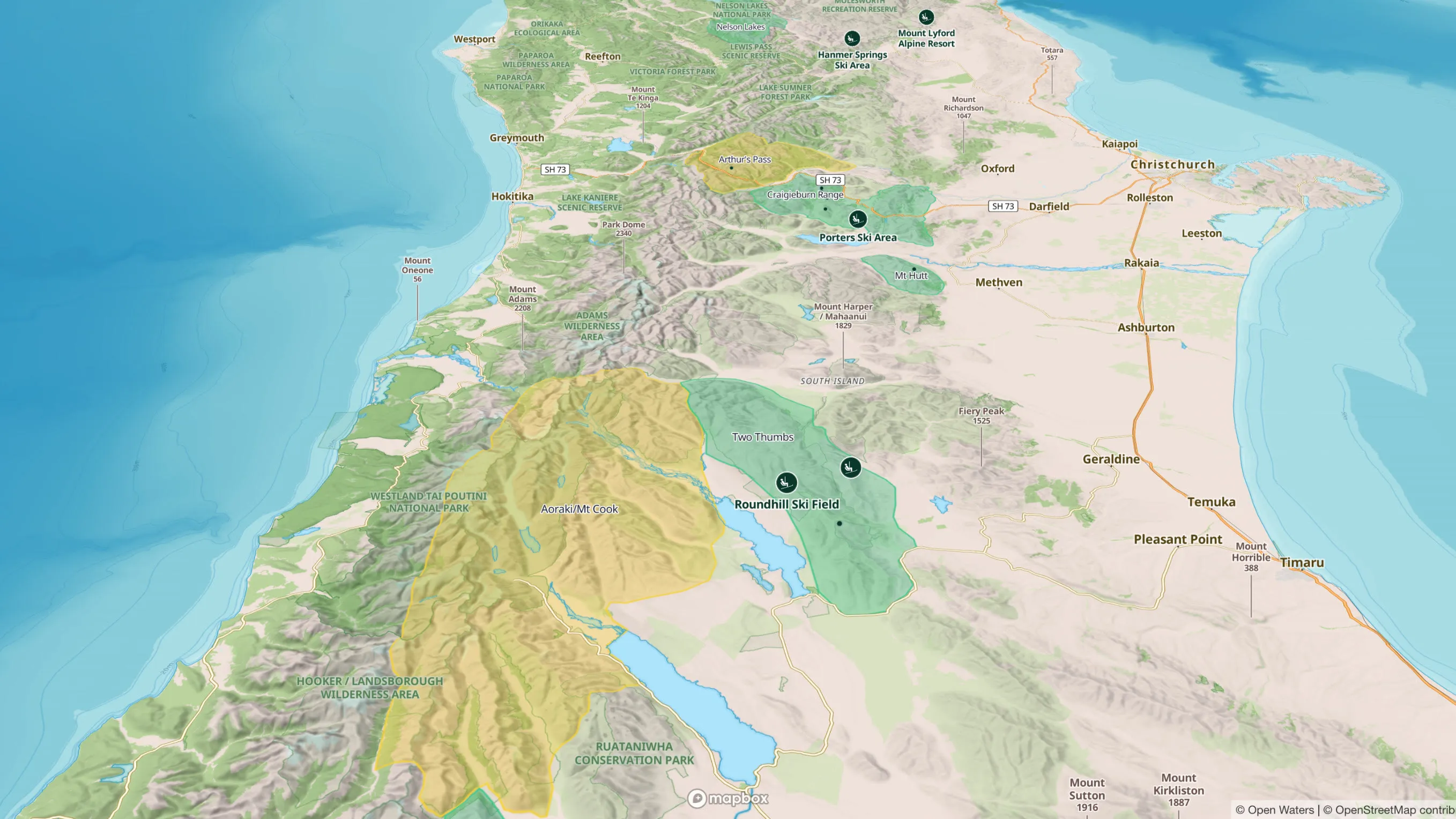
Check the avalanche forecast in Outmap
See the forecast on the map in your browser, then take your route with you on your phone. The forecast is free.