What it is
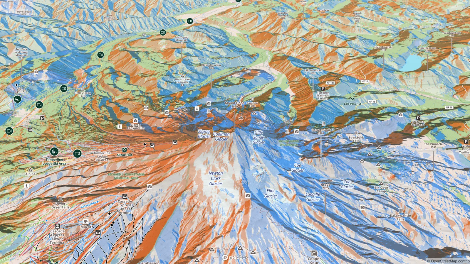
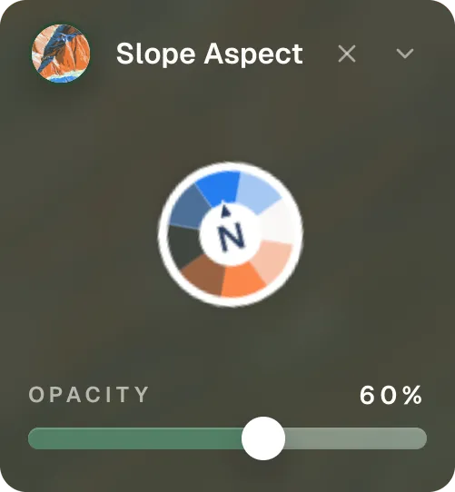
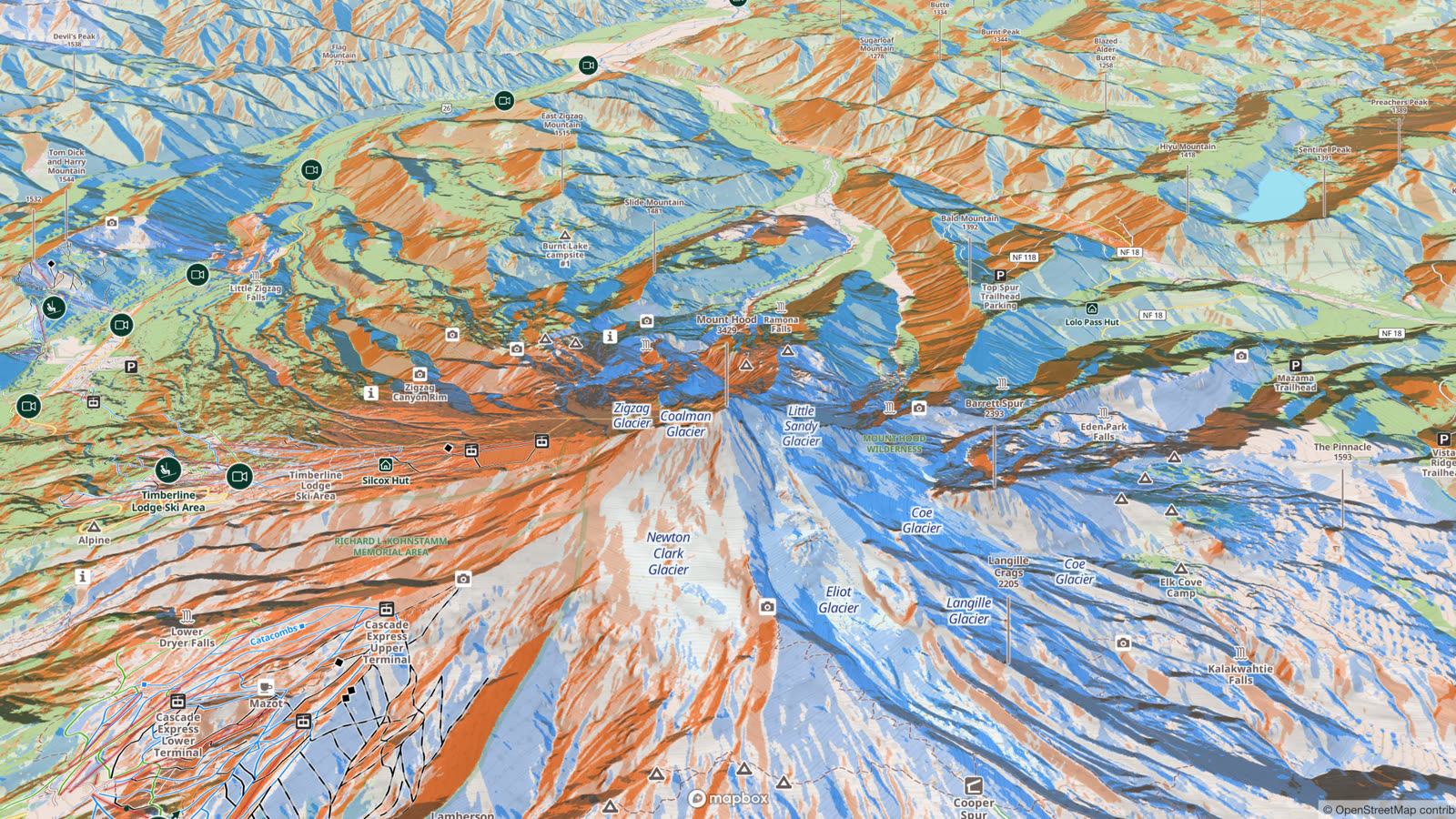
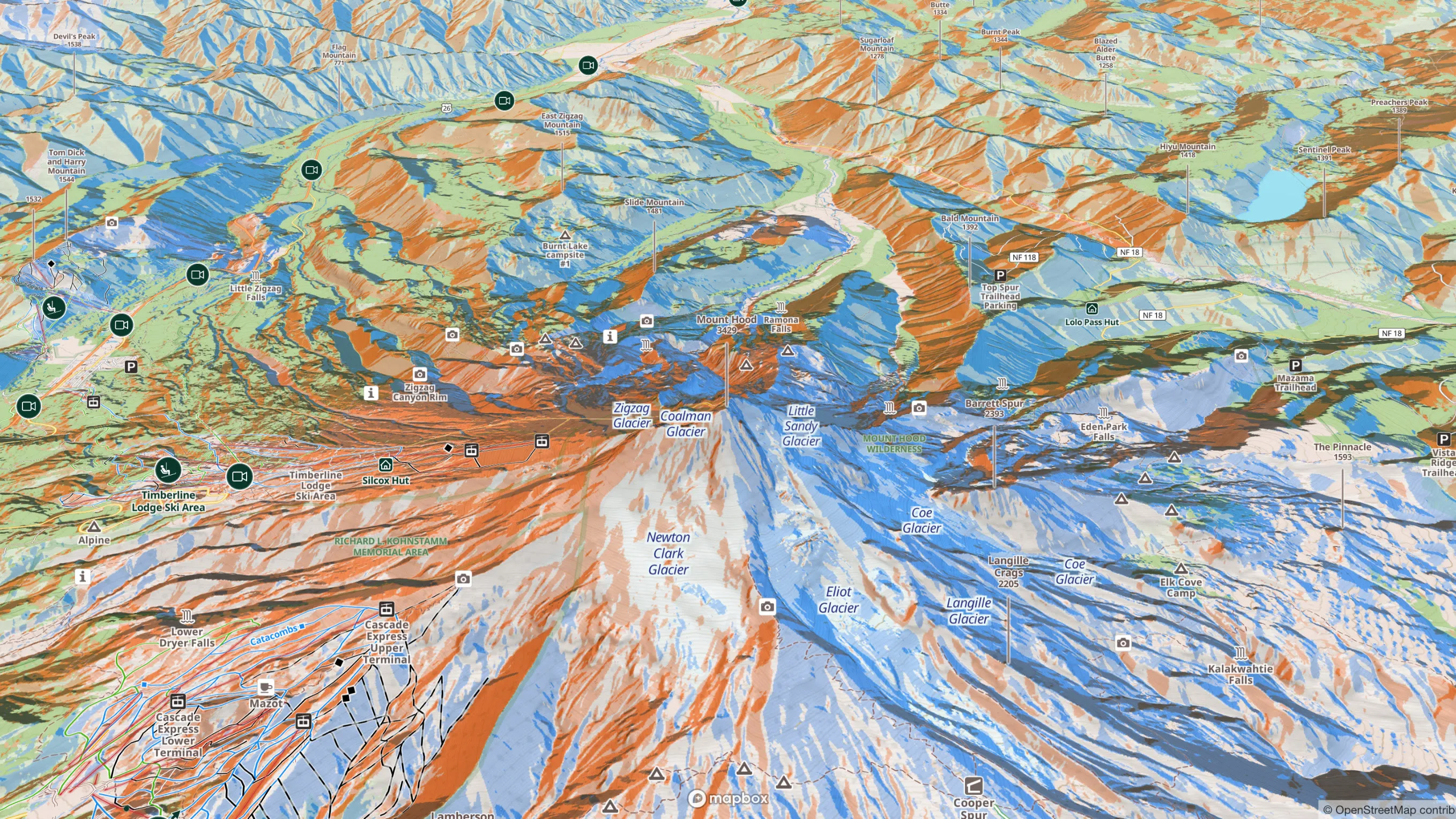
Aspect is the compass direction a slope faces. If you are skiing or riding down a pitch, the direction you are facing is the slope's aspect. Forecasters usually split terrain into eight directions: north, northeast, east, southeast, south, southwest, west and northwest. The layer's legend is a colour wheel of those eight directions. North-facing slopes show in blue and south-facing ones in orange, and the directions in between mix the two.
Why it matters on the mountain
The snowpack and avalanche hazard can change sharply from one aspect to the next, because of differences in sun and wind.
Sun
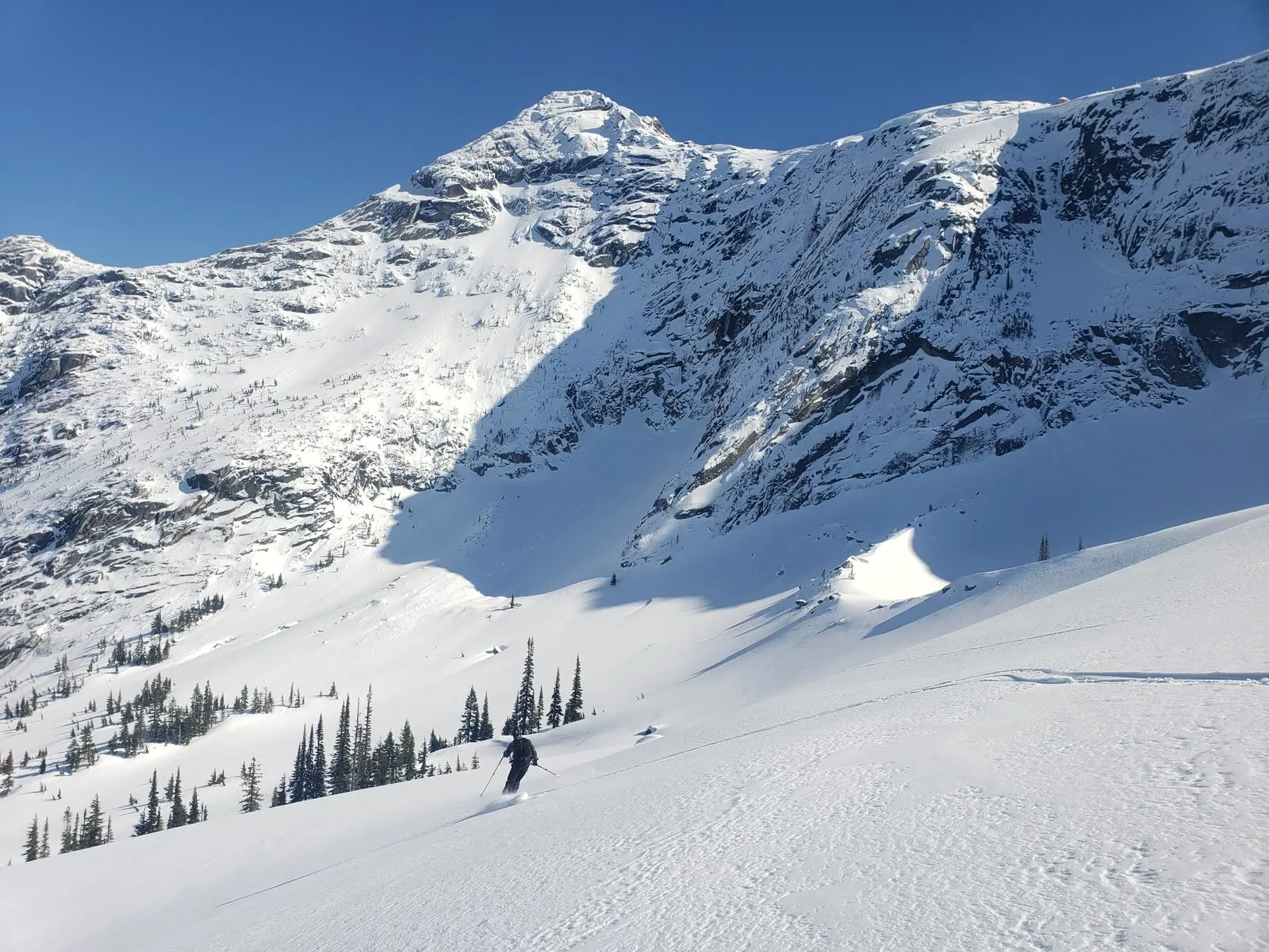
In the northern hemisphere, steep south-facing slopes get the most sun exposure and north-facing slopes the least. A weak layer can form on every aspect and then be destroyed by the sun on the southerly ones. Sun also shapes when and where melt and wet avalanches happen. With Outmap Pro, the Hours in the Sun layer estimates daily sun exposure across the terrain.
Wind
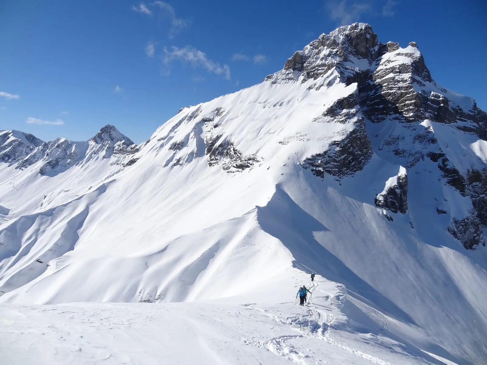
Wind moves snow from one side of a ridge to the other and drops it on the leeward slopes. This is called wind loading: strong winds from the west, for example, can build slabs on east-facing slopes.
The forecast
Avalanche forecasts often show where the danger is, by aspect and elevation, as a danger rose: a mountain seen from above, divided into the eight aspects and three elevation bands. With the aspect layer on, you can see which slopes on your route face the directions the forecast warns about. The elevation bands layer shows the elevation part of the rose.
With slope angle
The danger rose does not say how steep a slope is. Steepness is a key factor in whether a slope can avalanche at all, and most slab avalanches start on slopes between 30° and 50°. Once you have found the slopes that face the flagged directions, switch to the slope angle layer to see which of them are steep enough to slide.
In 3D
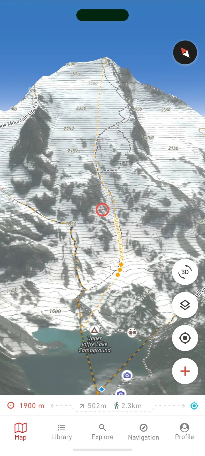
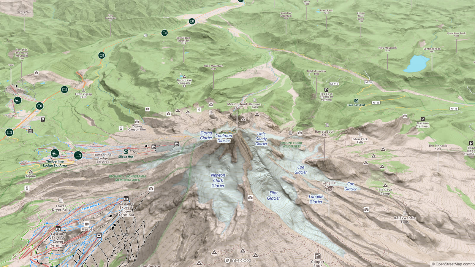
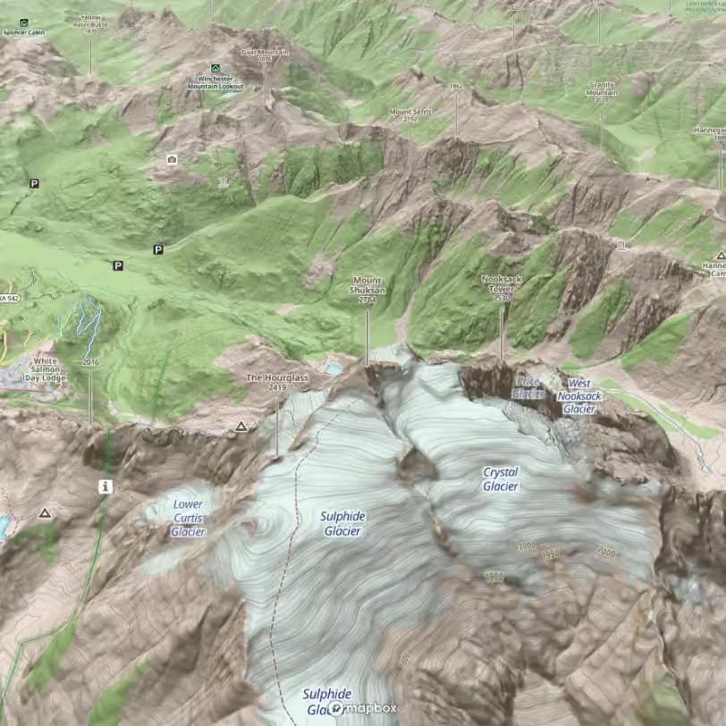
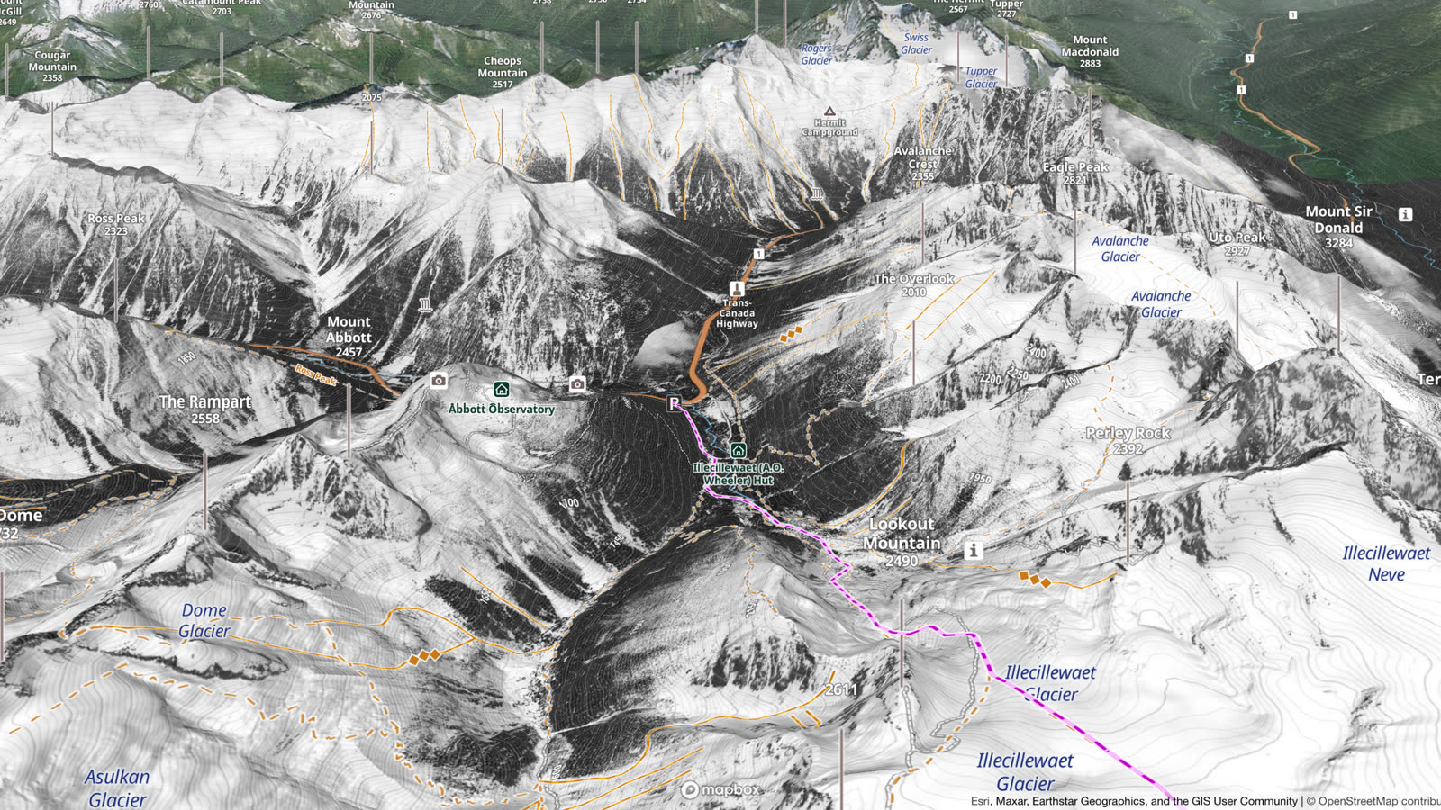
The slope aspect layer also shows on Outmap's 3D terrain, so you can turn the map and see which way each face points. More: 3D Maps.
In the field
With Outmap Pro, the slope aspect layer comes with every offline map you download in the app, so it works without cell service. On the slope, face straight down the fall line and read the compass on the app's Navigation tab: it shows the aspect in degrees, with no signal needed.
How to turn it on in Outmap
It works the same in the app and in Outmap Web at outmap.pro/maps, once you're logged in:
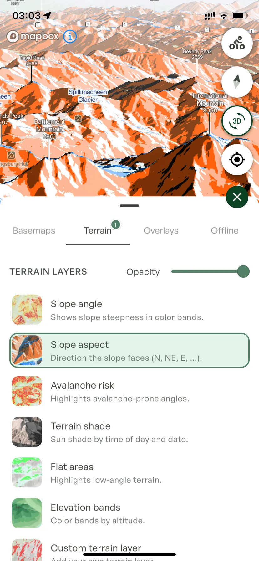
- Open the Layers panel.
- Go to the Terrain tab.
- Turn on Slope aspect, and use the Opacity slider to let the map show through.

Frequently asked questions
Yes. Outmap's slope aspect layer colours every slope by the direction it faces, on iPhone, Android and Outmap Web, in 2D and 3D. It is free, and so are the slope angle and elevation bands layers you read it with.
The compass direction a slope faces. Forecasters use eight directions, from north round to northwest.
Sun and wind treat each aspect differently, so the snowpack and the avalanche hazard can change sharply from one side of a ridge to the other.
Before you go, read it off Outmap's aspect layer: blue for north-facing slopes, orange for south-facing ones. On the slope, face straight down the fall line: the direction you face is its aspect, and the compass on Outmap's Navigation tab shows it in degrees.
Read which aspects and elevations the forecast flags. The aspect layer shows which slopes on your route face those directions, the elevation bands layer how high they are, and the slope angle layer whether they are steep enough to slide.
Yes. Slope angle, slope aspect, avalanche risk, flat areas and elevation bands are all in Outmap's free plan. Custom terrain, Terrain shade and Hours in the Sun are Pro.
Two Outmap Pro layers. Terrain shade previews where the shade falls at a time you choose. Hours in the Sun estimates daily sun exposure across the terrain.
Yes, with Outmap Pro, in the Outmap app for iPhone and Android. Download a region before you go and it keeps the topographic map, hillshade, contour lines, the terrain layers, guidebooks and satellite imagery from Maxar, Mapbox or Winter, so they all work without cell service. Your routes and waypoints are always on your phone, and you stay logged in. Recent Imagery and National Imagery are online only.
Try the slope aspect map in Outmap
Match the forecast to the slopes on your route in your browser, then take the map with you on your phone. The layer is free.