3D Maps for Backcountry Skiing, Hiking and Backpacking
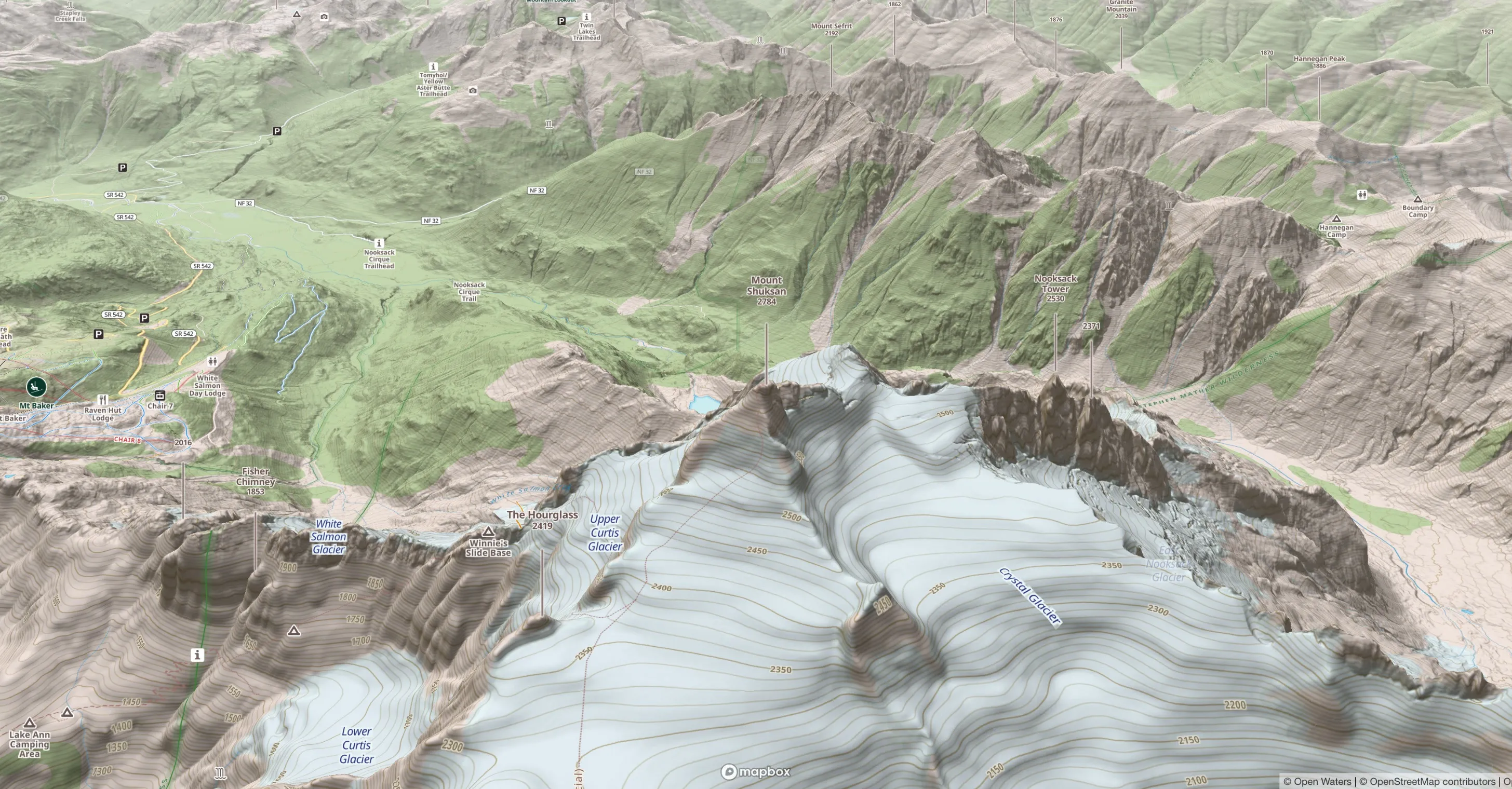
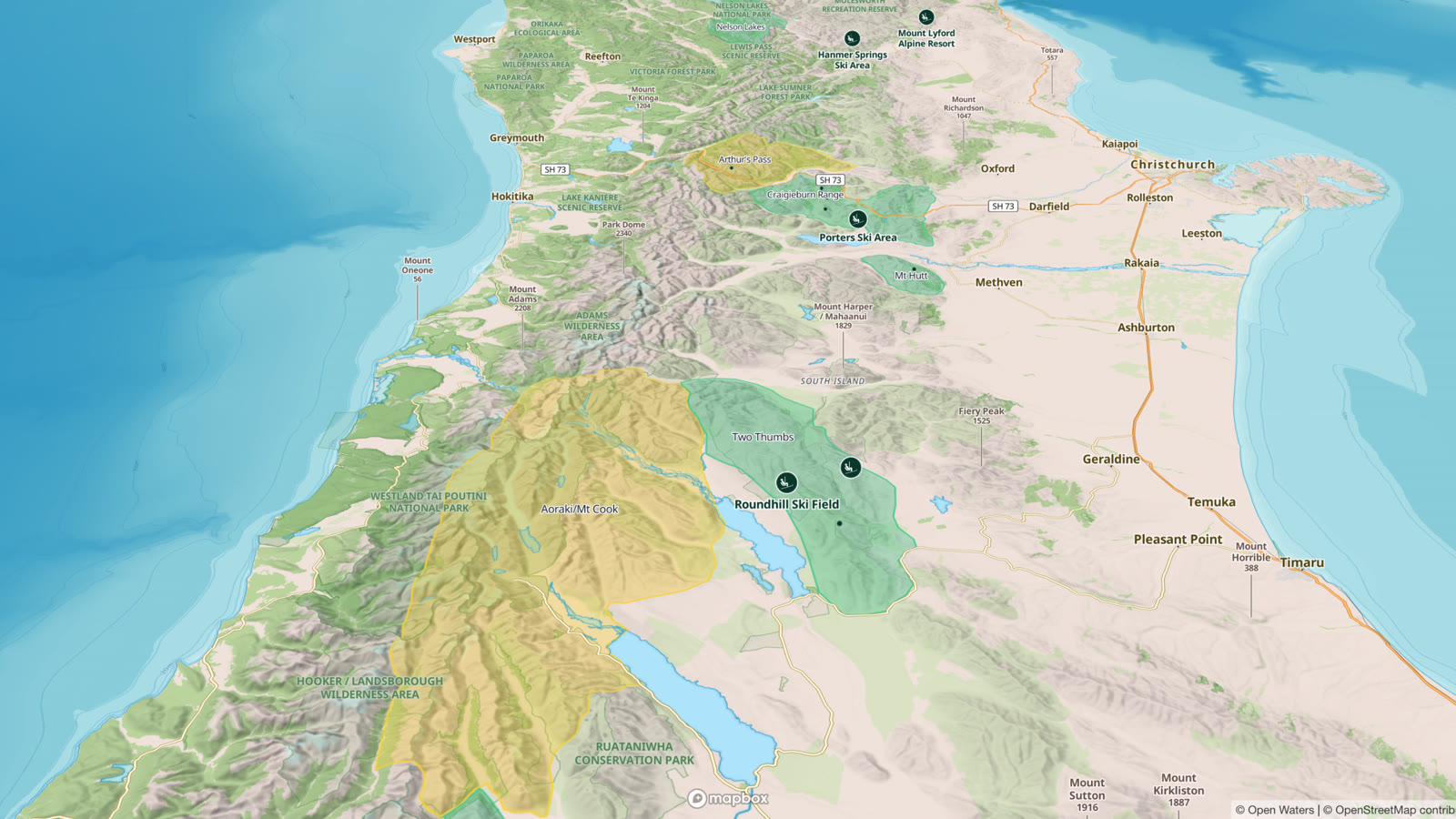
Outmap shows the mountains in 3D, so you can see the shape of a slope from every side while you plan. Tilt, rotate and zoom the terrain, then lay a slope angle layer or winter imagery over it, on your phone or in Outmap Web. 3D is free on iOS, Android and Outmap Web.
Mount Rainier, Washington, with the Success Glacier Couloir from the Mount Rainier Ski Descents guidebook. Drag the map to look around, or use two fingers on a phone; hold ⌘ or Ctrl while you scroll to zoom.
See the terrain the way you will meet it
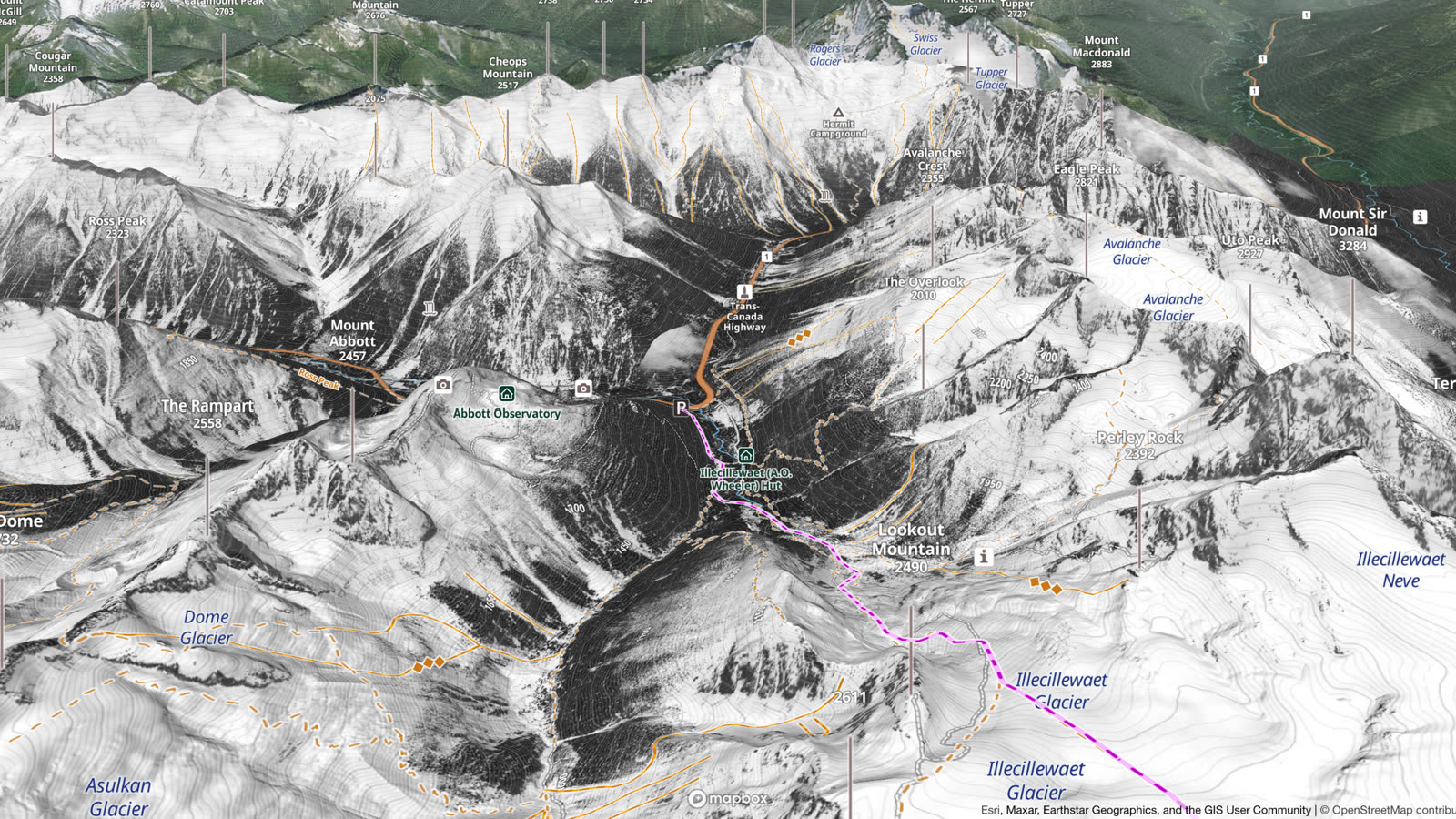
A flat topographic map shows a mountain from straight above and leaves you to work out its shape from the contour lines, which many backcountry users find hard. In 3D you see the terrain from the side, the way you will meet it: which way each face points, where a slope steepens and what sits above your line. It works on the topographic map and on satellite imagery.
 Flat map
Terrain layers on the 3D map
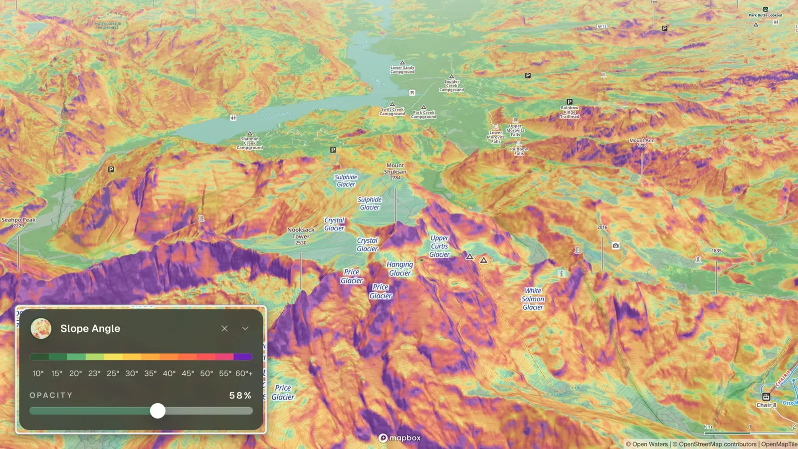
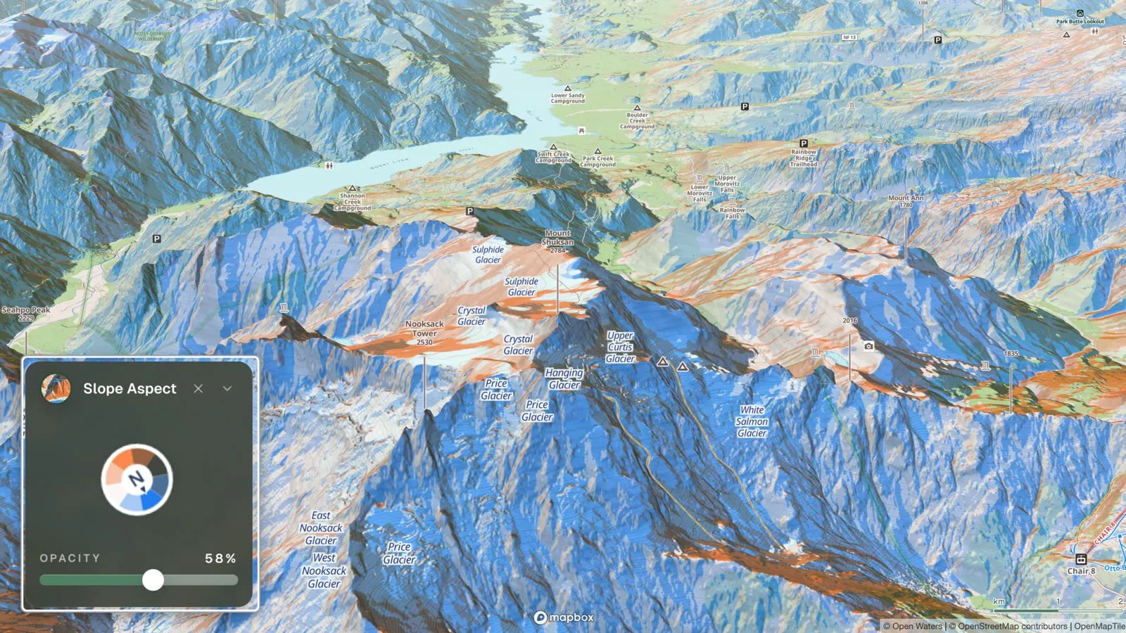
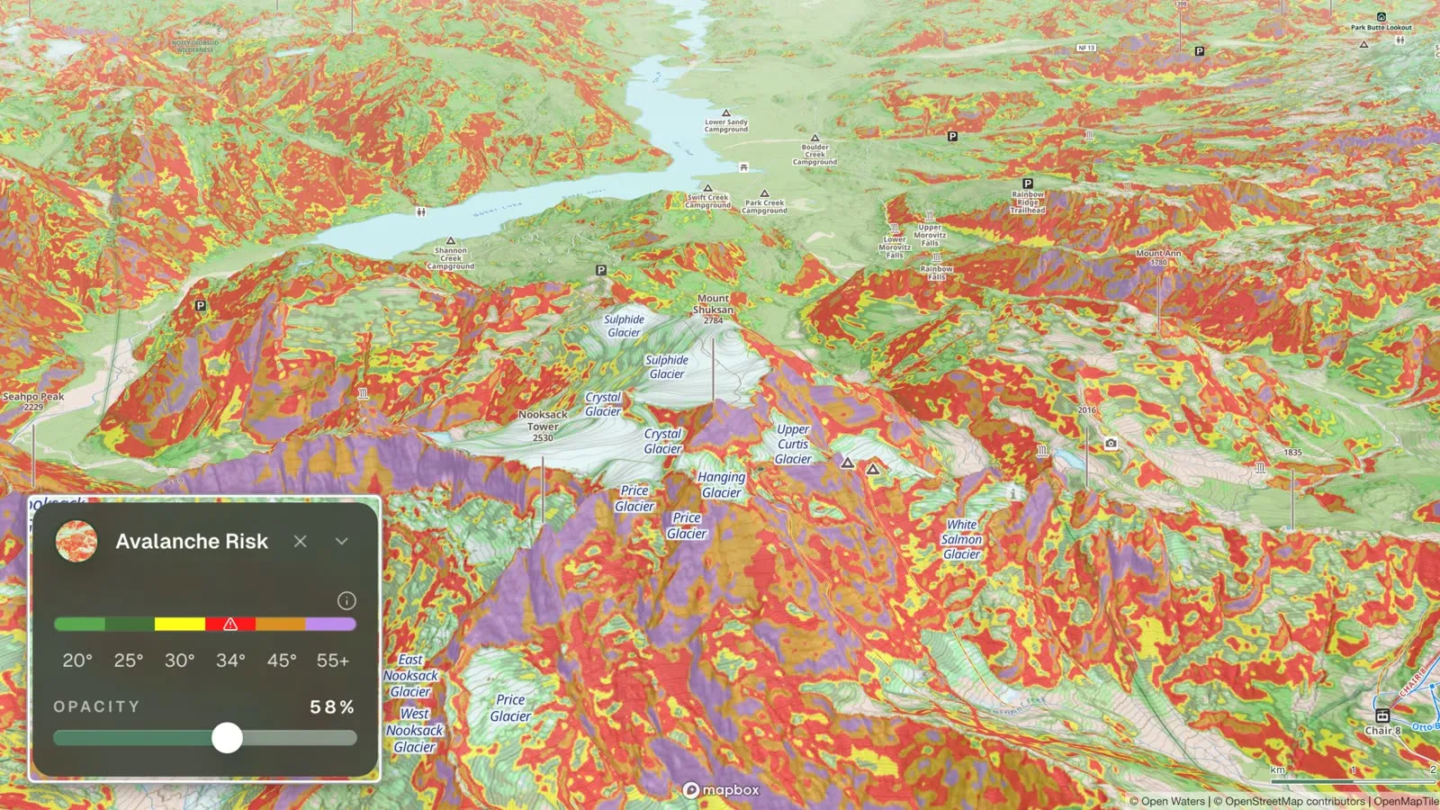
3D shows you the shape of a slope. The terrain layers add what the eye cannot judge well, even in 3D: how steep the slope is and which way it faces. They all drape over the 3D terrain:
- Slope angle colours every slope by its steepness, from 10° to 60° and over.
- Aspect shades each slope by the direction it faces, so you can match it to the aspects in the avalanche forecast.
- Avalanche risk groups slope angle into coloured bands, with red for 34° to 45°, the steepness to watch.
The other terrain layers work in 3D too: Flat areas and Elevation bands, and with Outmap Pro, Terrain shade, Hours in the Sun and Custom terrain.
Read the layers with the avalanche forecast, wherever one is published: turn on Avalanche forecast in the Overlays tab, and each forecast region is coloured by its danger rating; tap one to open its bulletin.
Satellite and winter imagery in 3D
With Outmap Pro, lay satellite imagery over the 3D terrain and see the ground itself. Choose from five sources:
- Maxar: high-resolution satellite imagery.
- Mapbox: a balance of clarity and performance.
- Winter (beta): snow-focused, high-resolution imagery, so far in British Columbia, Alberta, Japan and parts of Europe. Mont-Blanc is next in line.
- Recent Imagery: the last 30 days, or any month back to June 2015.
- National Imagery: the highest resolution available for each place, from national and regional aerial imagery, with Maxar or Mapbox where there is none.
Switch the same slope between summer and winter to see what could be hiding under the snow: cliffs, gullies and old avalanche paths. Below is Rogers Pass in British Columbia, in Recent Imagery from August and February 2026.

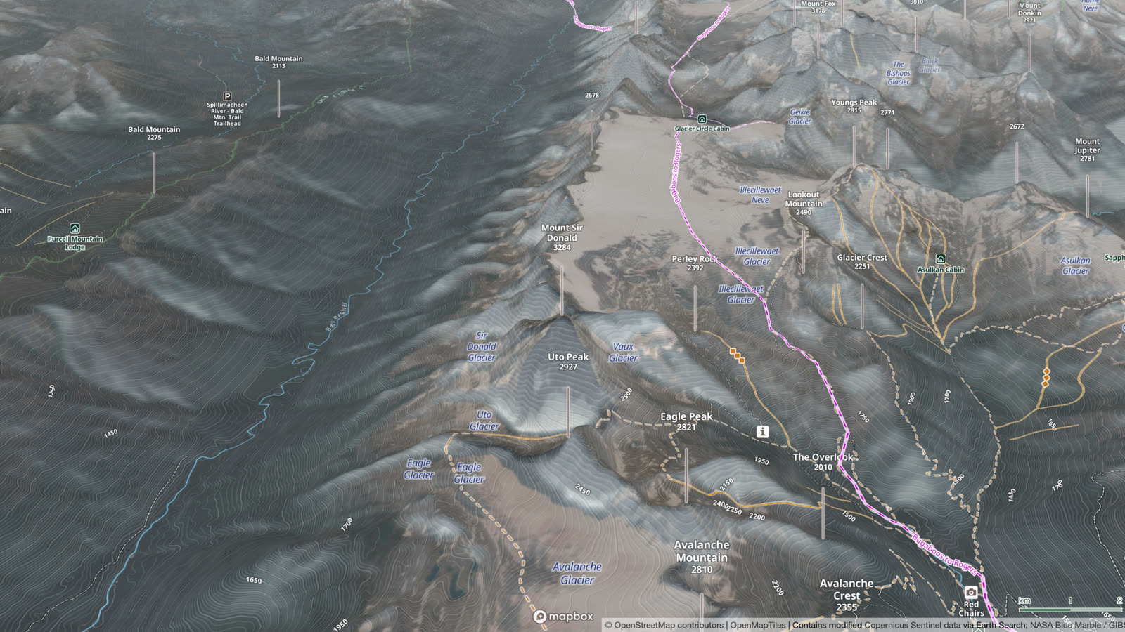
3D maps for backcountry skiing
Rotate around your objective to see which way each face points, and match it to the aspects the avalanche forecast warns about. Turn on slope angle to see the steep areas, and check for overhead hazards above the skin track. Switch to winter imagery to see the snow and the trees. Treat any map as a starting point, and confirm slopes in the field, as avalanche.org advises.
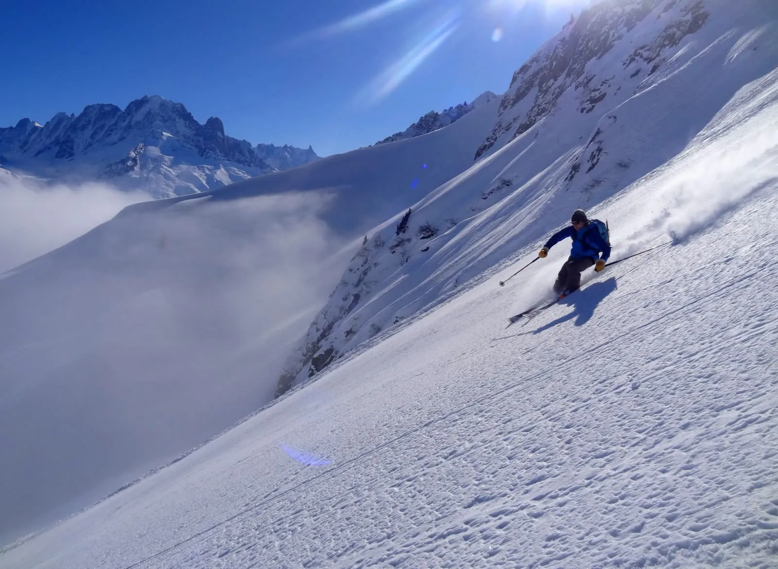
3D maps for hiking and backpacking
Tilt the map along the trail to see where it climbs, where it follows a ridge and where it drops into the valley. Lay satellite imagery over the 3D terrain to see the ground itself. 3D also helps you place yourself on the trail: in a US National Park Service study at Zion National Park, hikers marked their position more accurately with a 3D map than with a flat one.
Plan on the web, then take it with you
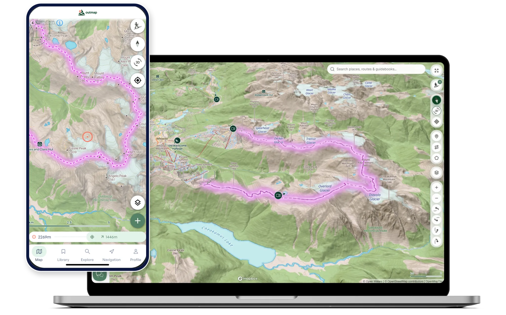
Plan on a big screen in Outmap Web, with the same 3D view as the app. Log in on your computer and on your phone, and your routes and waypoints sync between your devices on their own. With Outmap Pro, download the area before you go, and the map, its layers and 3D all work without cell service.
How to turn on 3D in Outmap
On desktop
- Open Outmap Web and log in. A free account is enough.
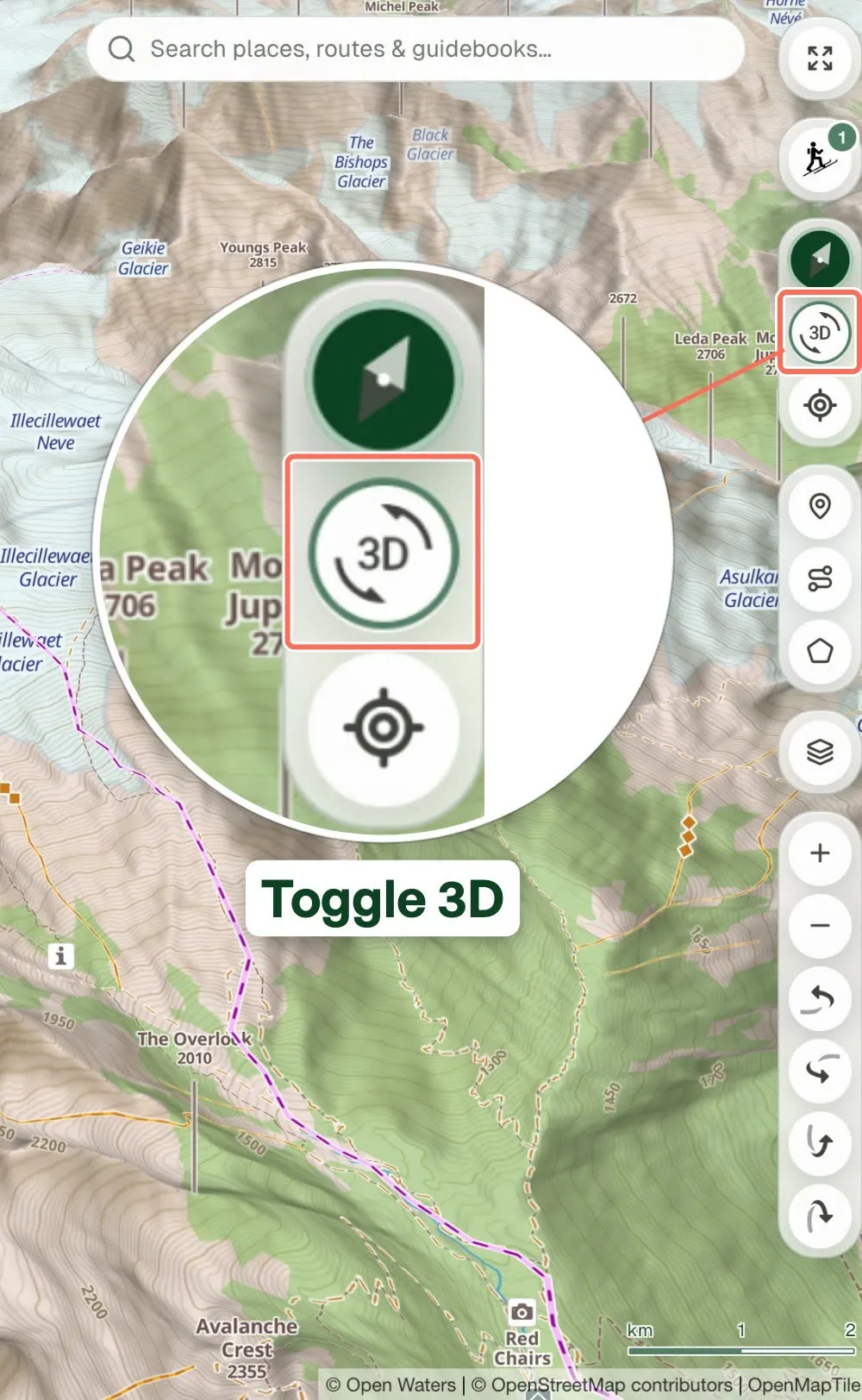
- Click Toggle 3D on the toolbar, or hold the right mouse button and drag to tilt the map into 3D.
- Rotate and zoom to study the slope.
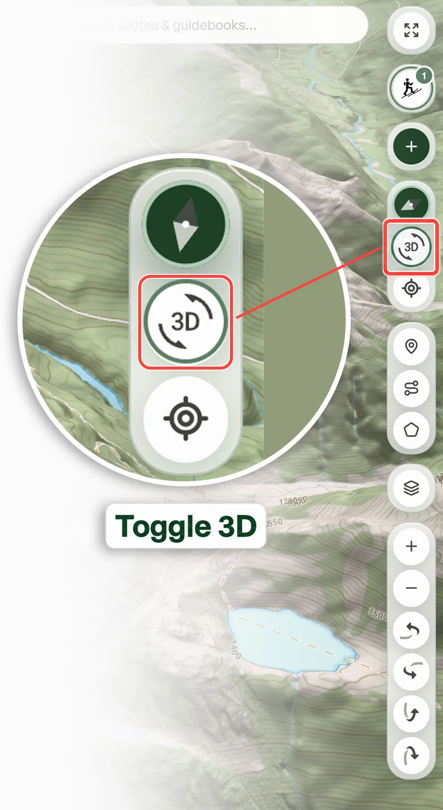

In the app
- Open a map in the Outmap app (get it for iPhone or Android).
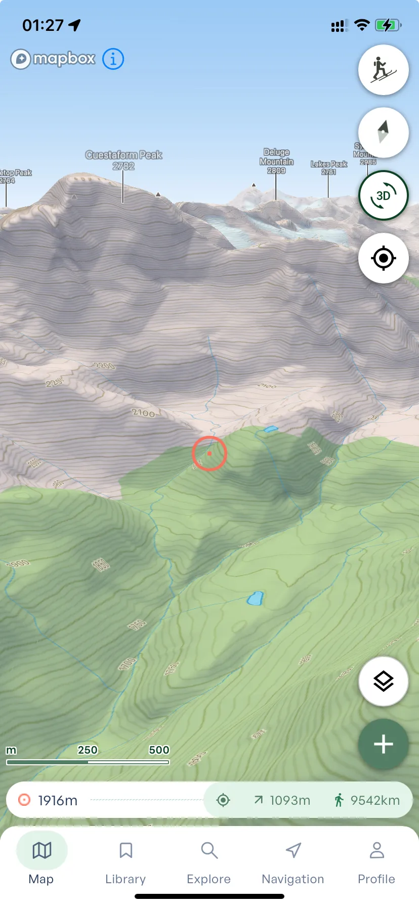
- Tap the 3D button, or tilt the map with two fingers.
- Rotate and zoom to study the slope.
Frequently asked questions
Yes. Outmap shows the terrain in 3D, on the topographic map and on satellite imagery, and 3D is free. Its free slope angle, aspect and avalanche risk layers show on the 3D terrain, so you can see how steep each slope is and which way it faces.
Yes. Outmap is a 3D mapping app for hiking, biking and backcountry skiing. Tilt and rotate the map to see where the trail climbs and drops. 3D is free on iOS, Android and Outmap Web.
Yes. With Outmap Pro, download the area before you go, and the map, the layers and 3D all work without cell service.
Yes. Outmap's free plan includes the topographic basemap, contour lines, 3D maps, custom waypoints and routes, activity recording, single-file GPX, KML, KMZ and GeoJSON import and export, and all five terrain layers: slope angle, slope aspect, avalanche risk, flat areas and elevation bands.
Yes, with Outmap Pro, from five providers: Maxar (high-resolution), Mapbox, a snow-focused Winter layer in beta, National Imagery, the highest resolution available for each place, and Recent Imagery, Sentinel-2 from the last 30 days or any month back to June 2015. Satellite Imagery
For reading the shape of the terrain, yes. Contour lines are hard to turn into a picture of the mountain, and in a US National Park Service study, hikers placed themselves on the trail more accurately with a 3D map. For exact steepness, rely on Outmap's slope angle layer rather than the eye, and check slopes in the field.
Yes. In Outmap, slope angle, aspect and avalanche risk all show on the 3D terrain, so you can see the steep slopes from any side. All three layers are free.
Yes. In Outmap, select a route or track and choose Fly Over to follow it through the 3D terrain, or Orbit Around to circle the camera around it or around a point of interest. Both are free on iOS, Android and Outmap Web.
Try 3D maps in Outmap
Plan your next line in 3D in your browser, then take it with you on your phone. 3D is free.
Get Started for Free


Our Commitment